Lauterbacher Knochen

Gallery (1)
Map
Map
Facts and practical information
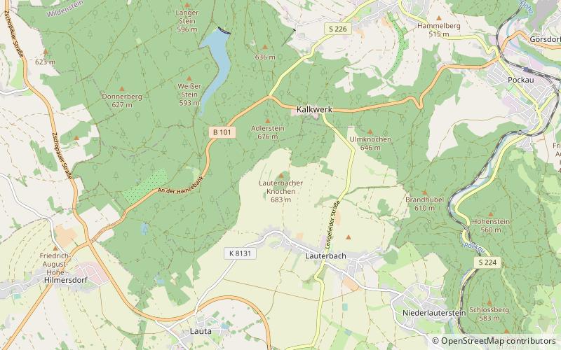
The Lauterbacher Knochen is a 683-metre-high peak about one kilometre north of the village of Lauterbach in the municipality of Marienberg in the Ore Mountains. At the summit there is a historic station which was part of the Royal Saxon Triangulation Network. ()
Location
Saxony
ContactAdd
Social media
Add
Day trips


