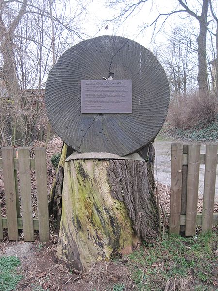
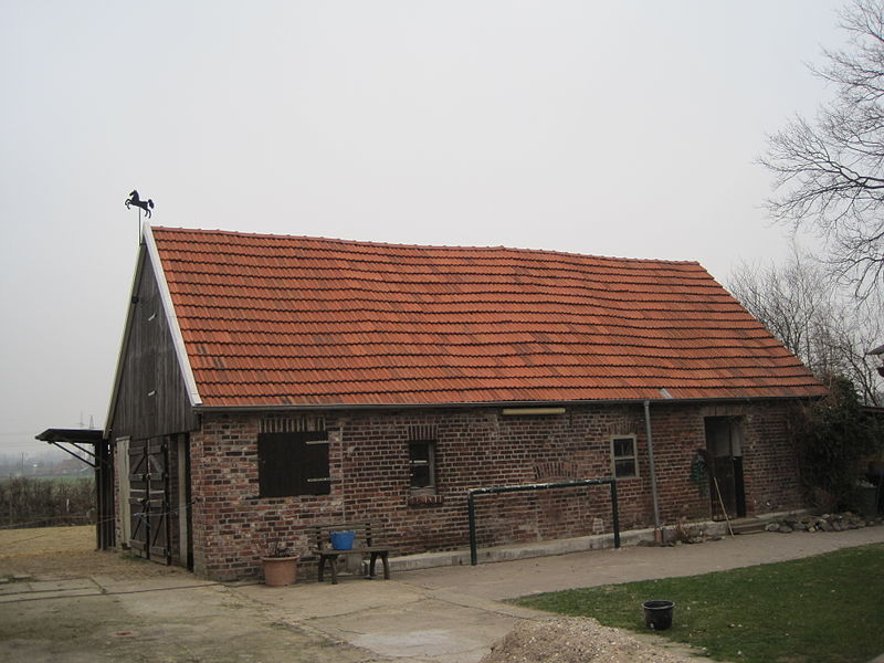
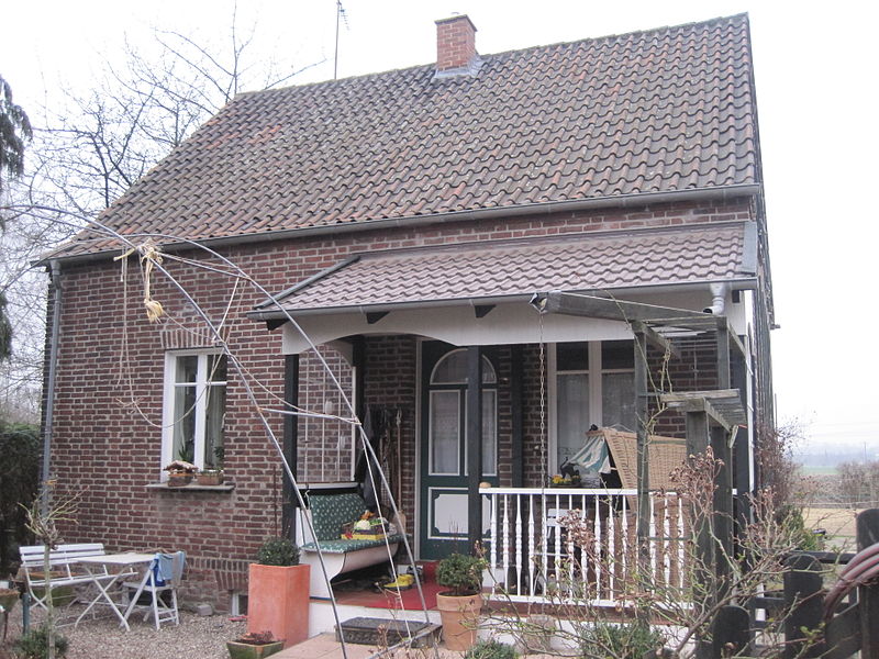
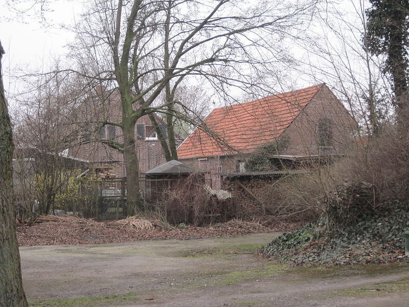
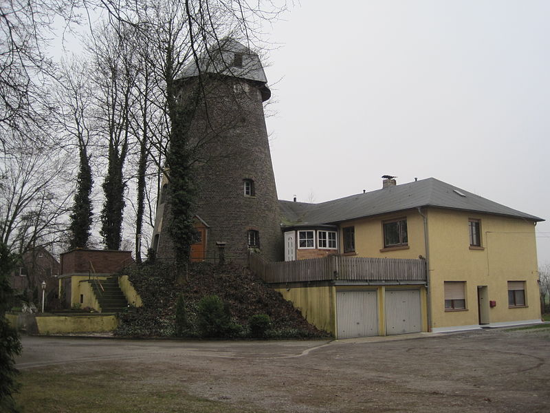
Klostermühle, Hamm

Gallery (10)
Map


Map

Gallery
Facts and practical information
The Klosterhof is located in the Bauerschaft Hölter. This belongs to the district Hövel, today's borough Hamm-Bockum-Hövel of the city of Hamm. The Klostermühle, which once belonged to the estate, has been a listed building since April 21, 1994.
Coordinates: 51°42'42"N, 7°45'52"E
Address
Hamm
ContactAdd
Social media
Add
Getting there by public transportation
Public transportation stops near this location
- Bus
- Train
 Bus
Bus
- Calculate routeUhlenfeld Wendeplatz 7 min walk
- Calculate routeIm Sundern 11 min walk
- Calculate routeHövel Uhlenfeld 12 min walk
- Calculate routeHamm-Bockum-Hövel 16 min walk
Day trips


Frequently Asked Questions (FAQ)
Which popular attractions are close to Klostermühle?
Nearby attractions include Haus Ermelinghof, Hamm (15 min walk), St.-Pankratius-Kirche, Hamm (16 min walk).
How to get to Klostermühle by public transport?
The nearest stations to Klostermühle:
Bus
Train
Bus
- Uhlenfeld Wendeplatz • Lines: 2, E95, N2 (7 min walk)
- Im Sundern • Lines: 2, N2 (11 min walk)
Train
- Hamm-Bockum-Hövel (16 min walk)