Spremberg Dam
Map

Map

Facts and practical information
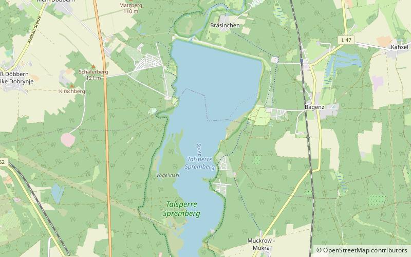
Spremberg Dam and its associated reservoir lie between Cottbus and Spremberg and impound the River Spree. Together with the surrounding countryside they make up the protected landscape also known as the Talsperre Spremberg. The dam itself is made of earth and is the only one in the state of Brandenburg that counts as a "large dam". Its purposes are industrial water supply, flood protection, electricity generation, drought protection and recreation. It was taken into service on 8 October 1965. ()
Local name: Talsperre Spremberg Length: 2.3 miHeight: 66 ftElevation: 299 ft a.s.l.Coordinates: 51°38'27"N, 14°23'42"E
Location
Brandenburg
ContactAdd
Social media
Add
Day trips
Spremberg Dam – popular in the area (distance from the attraction)
Nearby attractions include: Bismarckturm Spremberg, Bürgerbüro, Mittelpunkt des Deutschen Reiches von 1871 bis1918.


