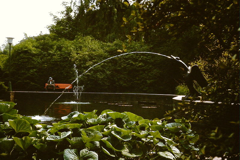
City park, Bochum
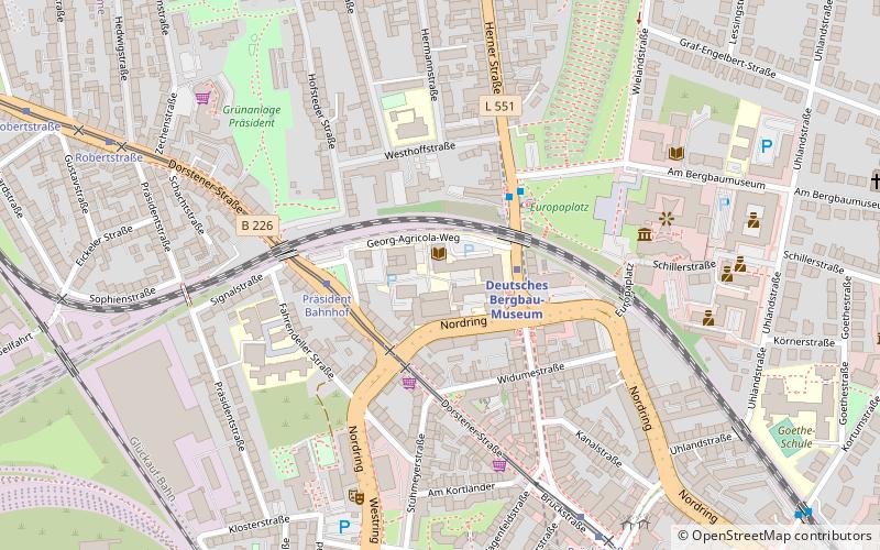
Map

Gallery
Facts and practical information
After the Essen Stadtgarten, the Bochum Stadtpark is the oldest municipal landscape garden in the Ruhr region.
Local name: StadtparkElevation: 384 ft a.s.l.Coordinates: 51°29'27"N, 7°13'30"E
Address
Bochum Mitte (Mitte)Bochum
ContactAdd
Social media
Add
Day trips
City park – popular in the area (distance from the attraction)
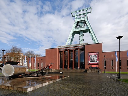
Nearby attractions include: German Mining Museum, Ruhrstadion, Anneliese Brost Musikforum Ruhr, Technische Hochschule Georg Agricola.
Frequently Asked Questions (FAQ)
Which popular attractions are close to City park?
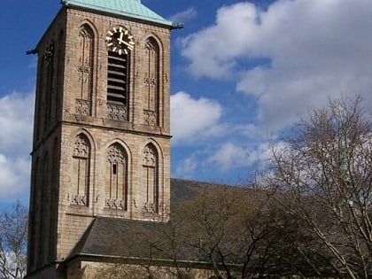
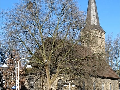
Nearby attractions include Bismarckturm Bochum, Bochum (2 min walk), Zoo Bochum, Bochum (3 min walk), War Memorial, Bochum (6 min walk), Iron Report, Bochum (7 min walk).
How to get to City park by public transport?
The nearest stations to City park:
Tram
Metro
Bus
Train
Tram
- Planetarium • Lines: 308, 316, 318 (10 min walk)
- Brückstraße • Lines: 306, 316 (15 min walk)
Metro
- Deutsches Bergbau-Museum • Lines: U35 (13 min walk)
- Feldsieper Straße • Lines: U35 (15 min walk)
Bus
- Vonovia Ruhrstadion • Lines: 395 (16 min walk)
- Krümmede • Lines: 395 (19 min walk)
Train
- Bochum Hauptbahnhof (22 min walk)
- Bochum West (23 min walk)

