St. Paul, Bocholt
Map

Map

Facts and practical information
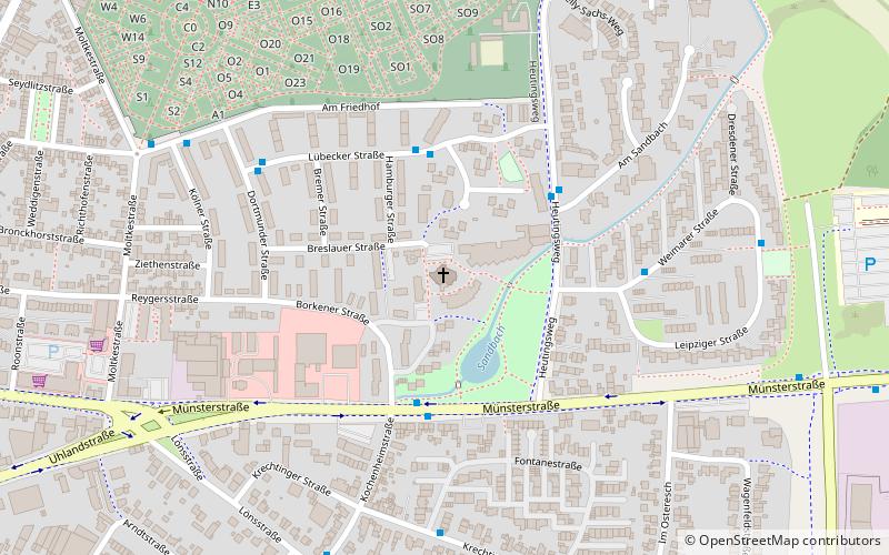
St. Paul's Church is a Catholic church on Breslauer Straße in the east of Bocholt.
It is a church site of the parish Liebfrauen with the parish church Liebfrauenkirche.
Architectural style: ModernCoordinates: 51°50'21"N, 6°38'32"E
Day trips
St. Paul – popular in the area (distance from the attraction)
Nearby attractions include: Bocholt textile museum, Aasee, St. Georg, Historical Town Hall.
Frequently Asked Questions (FAQ)
Which popular attractions are close to St. Paul?
Nearby attractions include Heilig Kreuz, Bocholt (13 min walk), Bocholt textile museum, Bocholt (17 min walk), Aasee, Bocholt (18 min walk), Christ Church, Bocholt (21 min walk).
How to get to St. Paul by public transport?
The nearest stations to St. Paul:
Bus
Train
Bus
- Am Sandbach • Lines: C2 (3 min walk)
- Chemnitzer Weg • Lines: C2 (5 min walk)
Train
- Bocholt (26 min walk)


