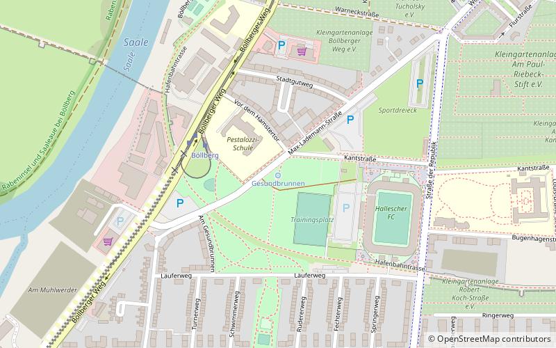
Gesundbrunnen, Halle
Map

Map

Facts and practical information
The Gesundbrunnen is a spring with a well house on Max-Lademann-Strasse in the South district of Halle.
Coordinates: 51°27'58"N, 11°57'31"E
Address
Kantstraße 3Stadtbezirk Süd (Gesundbrunnen)Halle
ContactAdd
Social media
Add
Day trips
Gesundbrunnen – popular in the area (distance from the attraction)
Nearby attractions include: Marktkirche Unser Lieben Frauen, Handel House, Wilhelm Friedemann Bach House, Halloren- und Salinemuseum.
Frequently Asked Questions (FAQ)
How to get to Gesundbrunnen by public transport?
The nearest stations to Gesundbrunnen:
Tram
Bus
Tram
- Böllberg • Lines: 1 (3 min walk)
- Ludwigstraße • Lines: 1 (8 min walk)
Bus
- Ammendorfer Weg • Lines: 26 (8 min walk)
- Passendorfer Weg • Lines: 26 (12 min walk)


