Brunnenstollen, Trippstadt
Map

Map

Facts and practical information
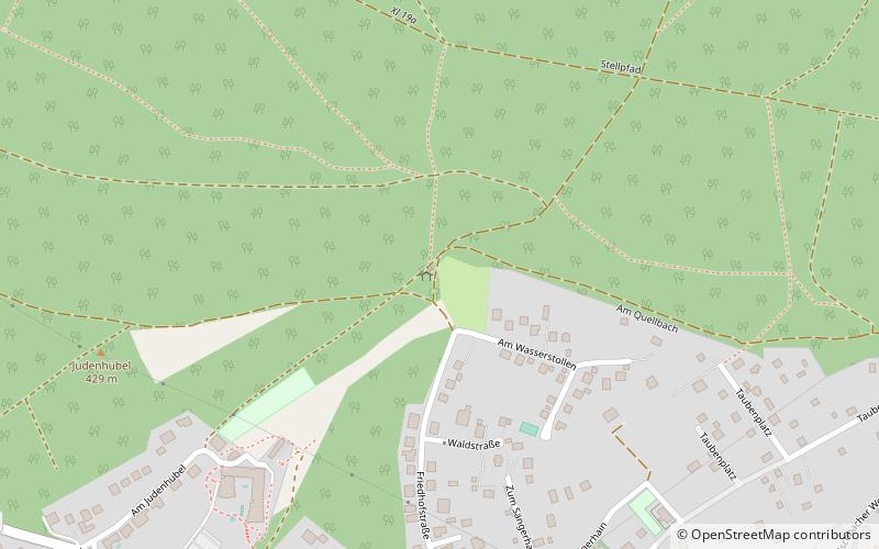
The well tunnel in the Rhineland-Palatinate municipality of Trippstadt is the preserved part of a system that collected water from various springs outside the village and conducted it underground through tunnels to Trippstadt Castle and the residential area.
Coordinates: 49°21'57"N, 7°46'39"E
Address
Trippstadt
ContactAdd
Social media
Add
Day trips
Brunnenstollen – popular in the area (distance from the attraction)
Nearby attractions include: Karlstal, Trippstadter Schloss, Waterway trail on the Moosalbe, Burg Wilenstein.
Frequently Asked Questions (FAQ)
Which popular attractions are close to Brunnenstollen?
Nearby attractions include Von hier aus, Trippstadt (12 min walk), Tor zum Biosphärenreservat, Trippstadt (16 min walk), Ritterstein Nr. 106, Trippstadt (17 min walk), Evangelical Church, Trippstadt (21 min walk).


