Friedhof Heerdt, Düsseldorf
Map
Gallery
Facts and practical information
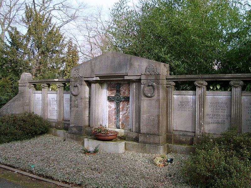
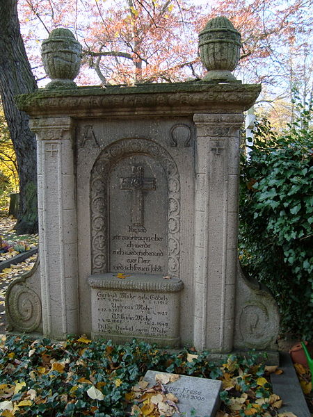
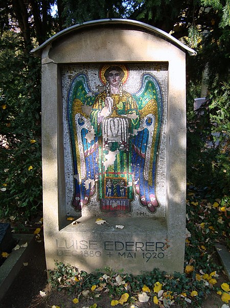
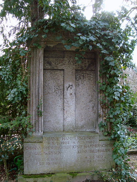
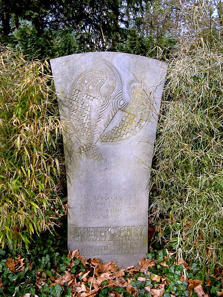
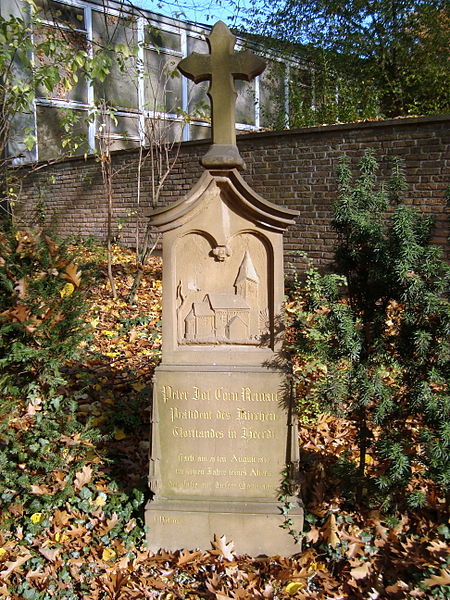
Heerdt Cemetery is a municipal cemetery in the Düsseldorf district of Heerdt and the only cemetery in the left bank of the Rhine in Düsseldorf.
Coordinates: 51°14'11"N, 6°43'4"E
Address
Stadtbezirke 04 (Heerdt)Düsseldorf
ContactAdd
Social media
Add
Day trips
Friedhof Heerdt – popular in the area (distance from the attraction)
Nearby attractions include: St. Sakrament, Philippus-Kirche, Lörick, Düsseldorf-Heerdt.
Frequently Asked Questions (FAQ)
Which popular attractions are close to Friedhof Heerdt?
Nearby attractions include Philippus-Kirche, Düsseldorf (15 min walk), Düsseldorf-Heerdt, Düsseldorf (15 min walk), Lörick, Düsseldorf (19 min walk), St. Sakrament, Düsseldorf (24 min walk).
How to get to Friedhof Heerdt by public transport?
The nearest stations to Friedhof Heerdt:
Bus
Metro
Tram
Bus
- Heerdt Friedhof • Lines: 805, 828, 863 (3 min walk)
- Benediktusstraße • Lines: 828, 833 (4 min walk)
Metro
- Nikolaus-Knopp-Platz • Lines: U75 (9 min walk)
- Heesenstraße • Lines: U75 (10 min walk)
Tram
- Heerdter Krankenhaus (12 min walk)
- Handweiser (24 min walk)


