Lörick, Düsseldorf
Map
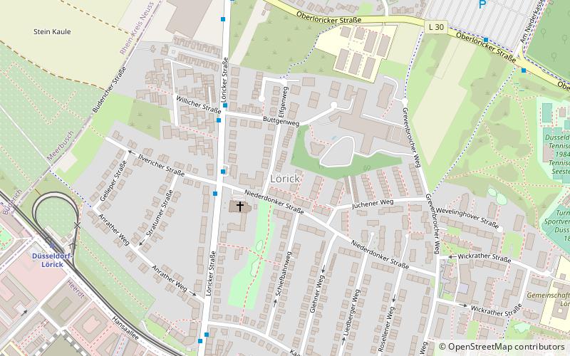
Map

Facts and practical information
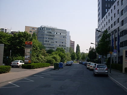
Lörick is an urban borough of Düsseldorf, Germany. It is located on the left side of the river Rhine, bordering to the river, Niederkassel, Heerdt and Meerbusch. Lörick was a small village belonging to the office of Heerdt until there was a connection via the Oberkassel Bridge to Düsseldorf in 1898. In 1909 Lörick became, together with Heerdt, a part of Düsseldorf. ()
Address
Stadtbezirke 04 (Lörick)Düsseldorf
ContactAdd
Social media
Add
Day trips
Lörick – popular in the area (distance from the attraction)
Nearby attractions include: Esprit Arena, Nord Park, Friedhof Heerdt, St. Sakrament.
Frequently Asked Questions (FAQ)
Which popular attractions are close to Lörick?
Nearby attractions include Philippus-Kirche, Düsseldorf (11 min walk), Friedhof Heerdt, Düsseldorf (19 min walk).
How to get to Lörick by public transport?
The nearest stations to Lörick:
Bus
Metro
Tram
Light rail
Bus
- Niederdonker Straße • Lines: 833 (3 min walk)
- Büttgenweg • Lines: 833 (4 min walk)
Metro
- Löricker Straße • Lines: U74, U76 (8 min walk)
- Düsseldorf-Lörick • Lines: U70, U74, U76 (8 min walk)
Tram
- Heerdter Krankenhaus (23 min walk)
- Drususstraße (31 min walk)
Light rail
- Meerbusch-Büderich, Landsknecht (30 min walk)
