Dammersfeldkuppe

Gallery (1)
Map
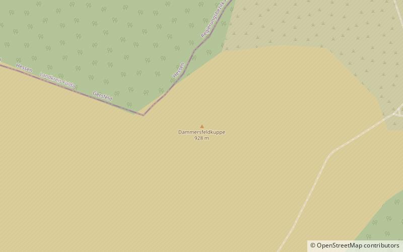
Map
Facts and practical information
At 927.9 m above sea level the Dammersfeldkuppe in Bavaria is the second highest mountain after the Wasserkuppe in the Rhön, a low mountain range straddling the states of Bavaria, Hesse and Thuringia in Germany. ()
Location
Bavaria
ContactAdd
Social media
Add
Day trips


