Kreuzberg, Rhön-Grabfeld

Gallery (1)
Map
Map
Facts and practical information
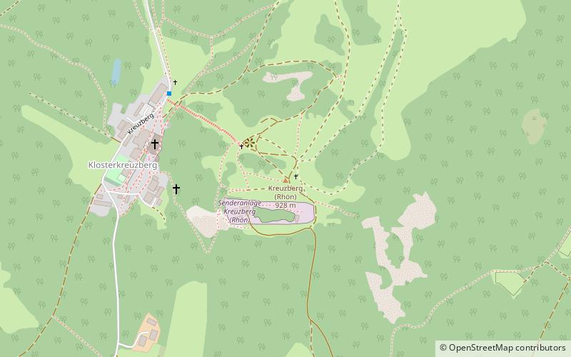
The Kreuzberg is one of the Rhön Mountains in southern Germany. With about 928 m high it is the highest elevation of the Bavarian part of the Rhön, in the province of Lower Franconia. The Kreuzberg — also referred to as the "sacred mountain of the Franconians" — is near the town of Bischofsheim an der Rhön in the district Rhön-Grabfeld. ()
Address
Rhön-Grabfeld
ContactAdd
Social media
Add
Day trips