HöSi, Höhenkirchen-Siegertsbrunn
#1 among attractions in Höhenkirchen-Siegertsbrunn


Facts and practical information
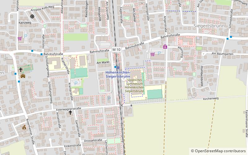
"HöSi" is a modern sculpture in the municipality of Höhenkirchen-Siegertsbrunn in the district of Munich, which was inaugurated on January 7, 2007.
Höhenkirchen-Siegertsbrunn Germany
HöSi – popular in the area (distance from the attraction)
Nearby attractions include: Sportpark Unterhaching, Maria Rosenkranzkönigin, Neubiberg, Taufkirchen.
 Sport venue, Sport, Arenas and stadiums
Sportpark Unterhaching, Munich
156 min walk • Sportpark Unterhaching is a notable stadium located in the suburban area of Unterhaching, just outside the bustling city of Munich, Germany. This stadium is a hub for local sports activities and serves as an essential part of the community's recreational life.
 Church
Maria Rosenkranzkönigin, Munich
118 min walk • Maria Rosenkranzkönigin English: "Our Lady of the Rosary" is a Roman Catholic parish church in the municipality of Neubiberg, near in Bavaria. The church was built in 1928 using functional-modern forms of architecture. It was consecrated on November 11, 1928 by Michael Cardinal von Faulhaber.
 Area
AreaNeubiberg, Munich
127 min walk • Neubiberg is a municipality and a village in south-east of Munich, Germany, founded in 1912. It used to have an airport that was used as a Luftwaffe-base in the Third Reich and after the war as a U.S. airbase and in the following years as the German Air Force officer school.
 Area
AreaTaufkirchen, Munich
135 min walk • Taufkirchen is a small community south of Munich, near Oberhaching and Unterhaching in Bavaria, southern Germany. The Realschule is named after Walter Klingenbeck.
 Area
AreaOttobrunn, Munich
103 min walk • Ottobrunn is a municipality southeast of Munich, Bavaria, Germany, founded in 1955. Ottobrunn consists of mainly semi-detached and detached houses, as well as extensive garden areas.
 Area
AreaHohenbrunn, Munich
60 min walk • Hohenbrunn is a municipality in the district of Munich in Bavaria, Germany. It is located in the southeast of Munich, occupying an area of 16.82 km². It connects to the Bundesautobahn 99 with its own exit, BAS Hohenbrunn. As of 30 June 2014, the population was 8,726.
 Area
AreaUnterhaching, Munich
155 min walk • Unterhaching is the second largest municipality in the district of Munich in Bavaria, Germany, located to the south of Munich city centre and easily accessible via two federal motorways, Bundesautobahn_8 and Bundesautobahn 995, and also on the Munich S-Bahn, connecting Unterhaching to Marienplatz in less than 20 minutes.
 Town, Area
Putzbrunn, Munich
101 min walk • Putzbrunn is a town in the district of Munich, Bavaria in Germany.
 Area
AreaGrasbrunn, Munich
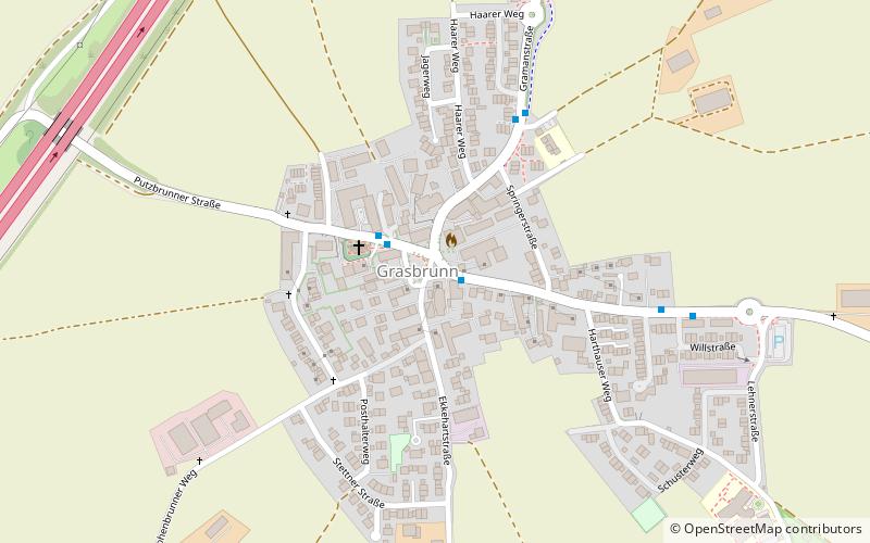
111 min walk • Grasbrunn is a municipality in the district of Munich in Bavaria in Germany.
 Park
ParkLandschaftspark Hachinger Tal, Munich
134 min walk • The Hachinger Tal Landscape Park is a landscape park of about 126 hectares in the administrative area of Neubiberg, Ottobrunn and Unterhaching in the south of Munich. It was created on the site of the former air base Neubiberg.
 Locality
Brunnthal
78 min walk • One of the most iconic landmarks in Brunnthal is the stunning Schloss Brunnthal, a historic castle that dates back to the 16th century. Visitors can explore the castle grounds and learn about its rich history, or simply take in the breathtaking views of the surrounding...
