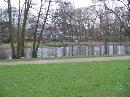
Weseruferpark, Bremen
Map
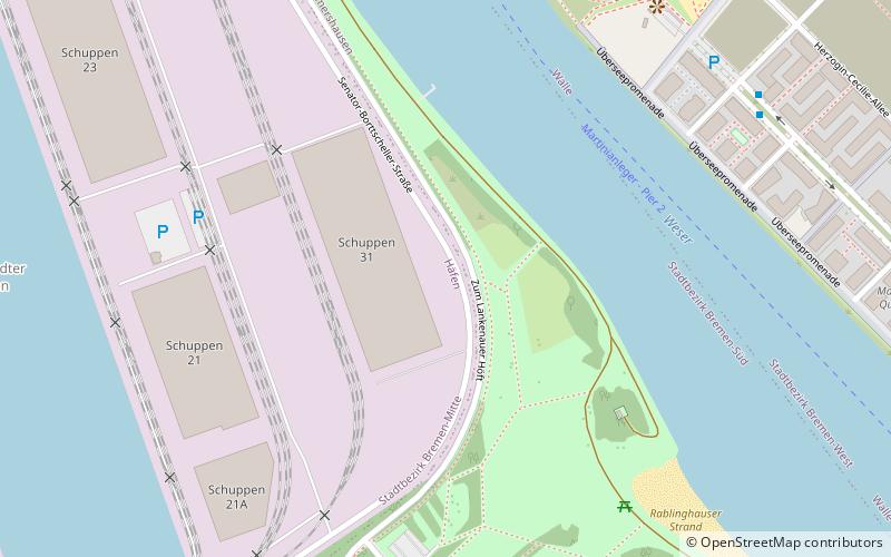
Map

Facts and practical information
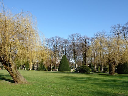
The Weseruferpark Rablinghausen is located in Bremen in the district of Woltmershausen, Rablinghausen district directly on the Weser River.
Elevation: 26 ft a.s.l.Coordinates: 53°6'1"N, 8°44'54"E
Day trips
Weseruferpark – popular in the area (distance from the attraction)
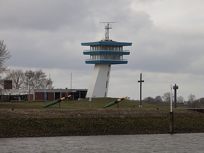
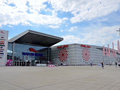
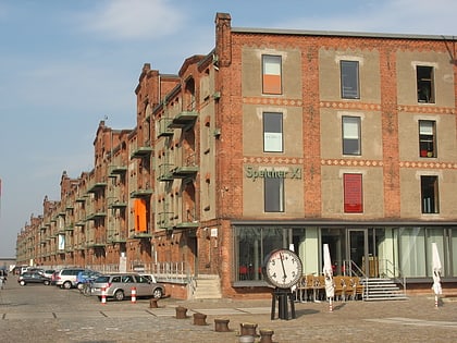
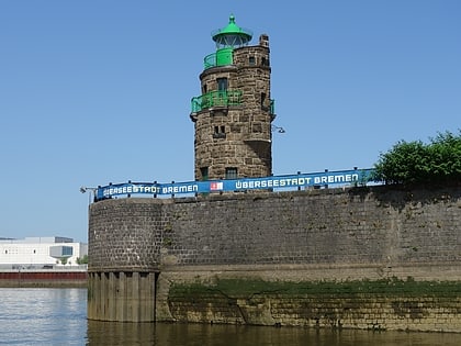
Nearby attractions include: Waterfront Shopping Centre, Schuppen Eins, Hafenmuseum, Molenturm.
Frequently Asked Questions (FAQ)
How to get to Weseruferpark by public transport?
The nearest stations to Weseruferpark:
Bus
Ferry
Tram
Bus
- Überseestadt-Nord • Lines: 26, 28 (8 min walk)
- Rablinghausen • Lines: 24, N3 (8 min walk)
Ferry
- Überseestadt/Molenturm • Lines: Weserfähre (8 min walk)
- Pier 2 • Lines: Mittelsbüren - Vegesack, Weserfähre (14 min walk)
Tram
- Goosestraße • Lines: 3 (21 min walk)
- Grasberger Straße • Lines: 3 (22 min walk)
