Frankfurt Rhine-Main, Frankfurt

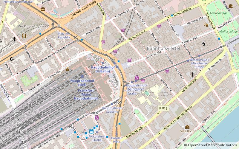
Map
Facts and practical information
The Rhine-Main Metropolitan Region, often simply referred to as Frankfurt Rhine-Main, Frankfurt Rhine-Main area, or Rhine-Main area is the second-largest metropolitan region in Germany after Rhine-Ruhr, with a total population exceeding 5.8 million. The metropolitan region is located in the central-western part of Germany, and stretches over parts of three German states: Hesse, Rhineland-Palatinate, and Bavaria. The largest cities in the region are Frankfurt am Main, Wiesbaden, Mainz, Darmstadt, Offenbach, Worms, Hanau, and Aschaffenburg. ()
Day trips
Frankfurt Rhine-Main – popular in the area (distance from the attraction)
Nearby attractions include: Museum Giersch, Jüdisches Museum, Oper Frankfurt, Schauspiel Frankfurt.
Frequently Asked Questions (FAQ)
Which popular attractions are close to Frankfurt Rhine-Main?
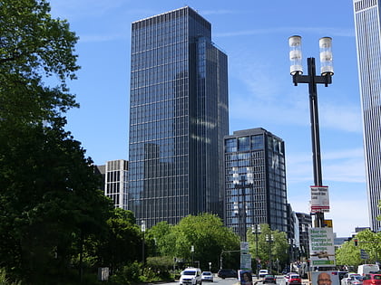
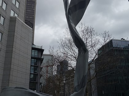
Nearby attractions include Frankfurt Rhein-Main Regional Authority, Frankfurt (6 min walk), Silberturm, Frankfurt (7 min walk), Inverted Collar and Tie, Frankfurt (7 min walk), Skyper, Frankfurt (8 min walk).
How to get to Frankfurt Rhine-Main by public transport?
The nearest stations to Frankfurt Rhine-Main:
Bus
Tram
Metro
Train
Bus
- Hauptbahnhof • Lines: 33, M46, N11, N12, N16, N4, N5 (2 min walk)
Tram
- Hauptbahnhof • Lines: 11, 14, 16, 17, 20, 21, EEx (1 min walk)
- Hauptbahnhof / Münchener Straße • Lines: 11, 12, 14, EEx (2 min walk)
Metro
- Hauptbahnhof • Lines: U4, U5 (2 min walk)
- Willy-Brandt-Platz • Lines: U1, U2, U3, U4, U5, U8 (12 min walk)
Train
- Frankfurt Hauptbahnhof (3 min walk)
- Hauptbahnhof (4 min walk)


