ehem. Synagoge Ahrweiler, Bad Neuenahr-Ahrweiler
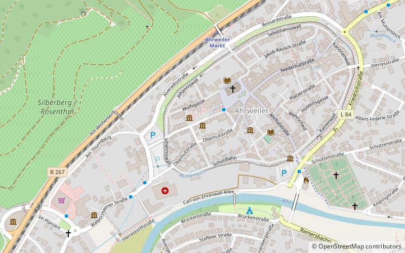
Map

Gallery

Facts and practical information
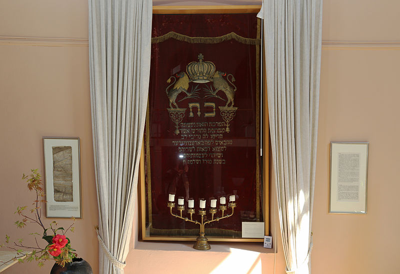
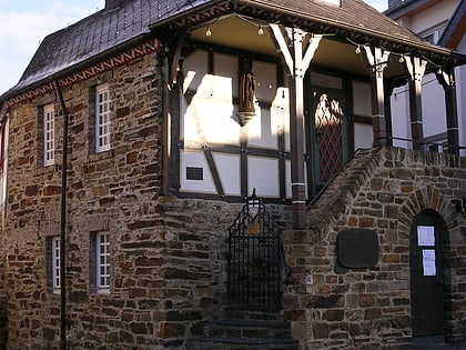
The Ahrweiler synagogue stands in the district of the same name in Bad Neuenahr-Ahrweiler in the district of Ahrweiler. It was built by the Jewish community in 1894 in the Altenbaustraße. The building has been listed as a historical monument since 1982.
Coordinates: 50°32'29"N, 7°5'35"E
Day trips
ehem. Synagoge Ahrweiler – popular in the area (distance from the attraction)
Nearby attractions include: Government bunker, Museum der Stadt Bad Neuenahr-Ahrweiler Weißer Turm, Museum Römervilla, Weinmuseum Bachem.
Frequently Asked Questions (FAQ)
Which popular attractions are close to ehem. Synagoge Ahrweiler?
Nearby attractions include Museum der Stadt Bad Neuenahr-Ahrweiler Weißer Turm, Bad Neuenahr-Ahrweiler (1 min walk), St. Laurentius, Bad Neuenahr-Ahrweiler (3 min walk), Ahrtor, Bad Neuenahr-Ahrweiler (5 min walk), Martha Levy, Bad Neuenahr-Ahrweiler (6 min walk).
How to get to ehem. Synagoge Ahrweiler by public transport?
The nearest stations to ehem. Synagoge Ahrweiler:
Bus
Train
Bus
- Johannes-Müller-Straße • Lines: Ate (2 min walk)
- Ahrweiler Marktbahnhof • Lines: 830, 850, Rb30 (4 min walk)
Train
- Ahrweiler Markt (5 min walk)
- Ahrweiler (18 min walk)


