Rohrhardsberg

Gallery (3)
Map
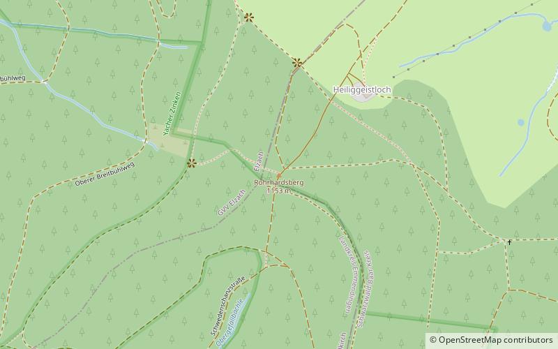
Map
Gallery
Facts and practical information
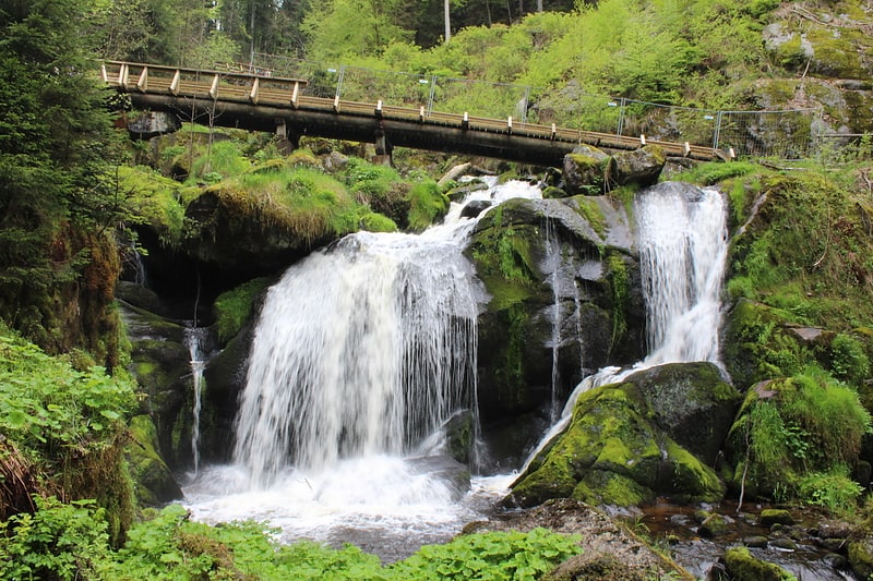
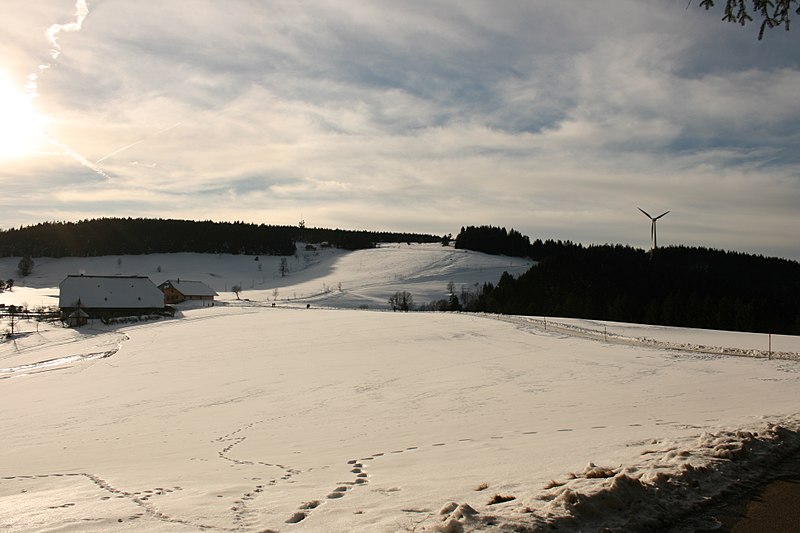
The Rohrhardsberg is a mountain in the Central Black Forest in southern Germany. At 1,152.1 metres above sea level, it is the northernmost summit of the elongated, north-south oriented Farnberg Plateau that has several high points over 1,150 metres. The mountain is situated near Elzach in the state of Baden-Württemberg. ()
Location
Baden-Württemberg
ContactAdd
Social media
Add
Day trips