Hörnleberg
Map

Gallery

Facts and practical information
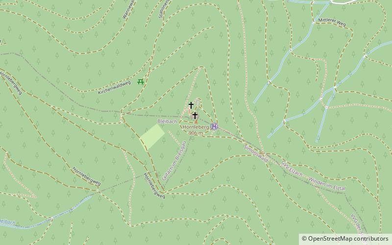
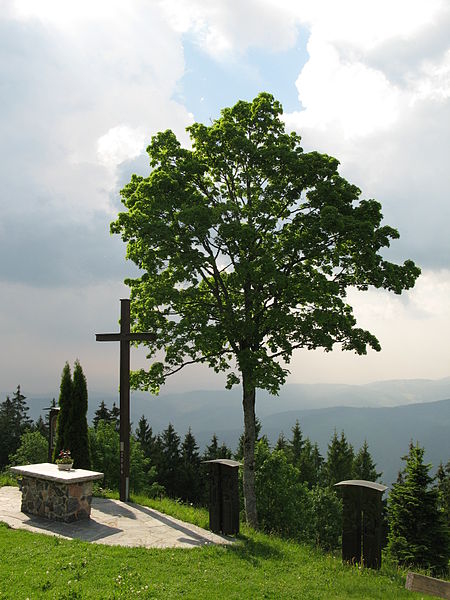
The Hörnleberg is a mountain, 905.6 m above sea level, in the Central Black Forest in southern Germany. Its summit pyramid rises around 600 metres above the apex formed by the valleys of the Elz and the Wild Gutach. Currently it has a view of the Elz valley and the Upper Rhine Plain. ()
Day trips
Hörnleberg – popular in the area (distance from the attraction)
Nearby attractions include: Kandel Mountain, Kastelburg, Martinskapelle, Brend Mountain.


