Kulm
Map

Map

Facts and practical information
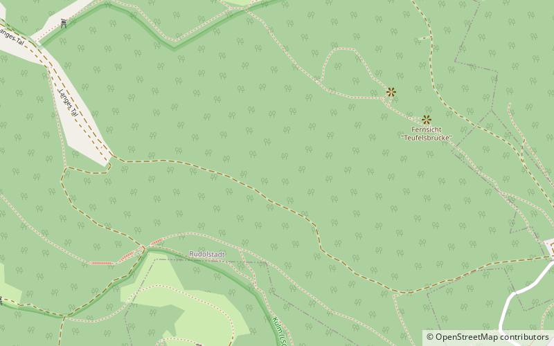
The Kulm is a hill, 481.9 m above sea level, near Saalfeld in the German state of Thuringia. It lies east of the Saale valley at the western tip of the Saale 'Knee' and is the local hill of the towns of Saalfeld and Rudolstadt. From the Kulm there is a panoramic view over the valleys of the Saale and Rinne, the Orla Basin, the Thuringian Highland and the Ilm-Saale Plateau. Near the Kulm are the villages of Schloßkulm and Dorfkulm, which belong to the municipalities of Uhlstädt-Kirchhasel and Unterwellenborn respectively. ()
Location
Thuringia
ContactAdd
Social media
Add
Day trips
Kulm – popular in the area (distance from the attraction)
Nearby attractions include: Feengrotten, Heidecksburg, Saalemaxx, Schloss Saalfeld.


