Thuringian Highland, Lauscha
#1 among attractions in Lauscha

Facts and practical information
The Thuringian Highland, Thuringian Highlands or Thuringian-Vogtlandian Slate Mountains is a low range of mountains in the German state of Thuringia. ()
Lauscha Germany
Lauscha plan & book
Unleash the traveler in you — discover the cheapest flight deals, find the perfect hotel or hostel nearby, and search for the best car rental prices. Travel at your own pace to discover new places and enjoy your journey.
Thuringian Highland – popular in the area (distance from the attraction)
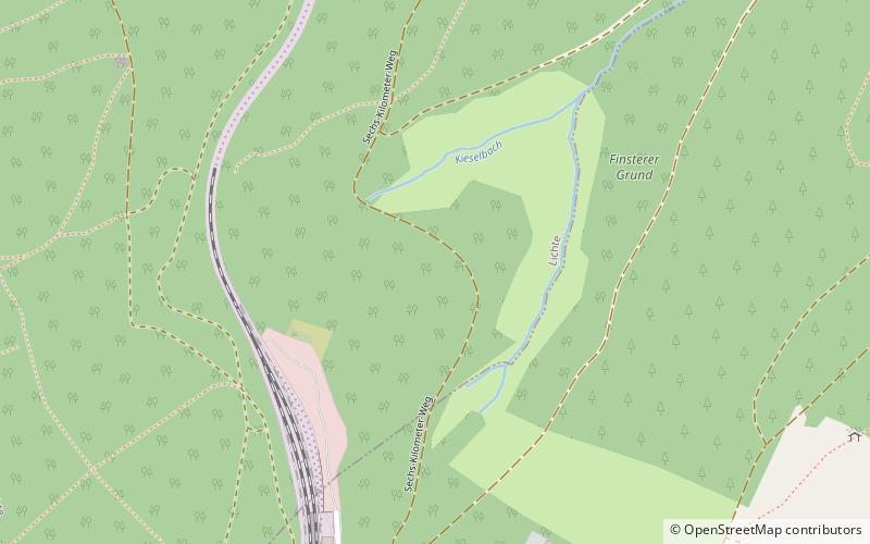
Nearby attractions include: Rauhhügel, Deesbach Forebay, Rückersbiel, Apelsberg.
 Nature, Natural attraction, Mountain
Rauhhügel
96 min walk • The Rauhhügel is an 812.9 m high mountain located in the Thuringian Highland, Thuringia. It is located close to the municipalities of Schmiedefeld and Lichte and the Leibis-Lichte Dam in the Saalfeld-Rudolstadt district in the Thuringian Forest Nature Park within walking distance of the Rennsteig.
 Nature, Lake, Natural attraction
Deesbach Forebay
123 min walk • The Deesbach Forebay is a dam in the German state of Thuringia in the Thuringian Highland. It impounds the river Lichte and lies between the municipalities Lichte and Unterweissbach. That particular forebay belongs to the Leibis-Lichte Dam.
 Nature, Natural attraction, Mountain
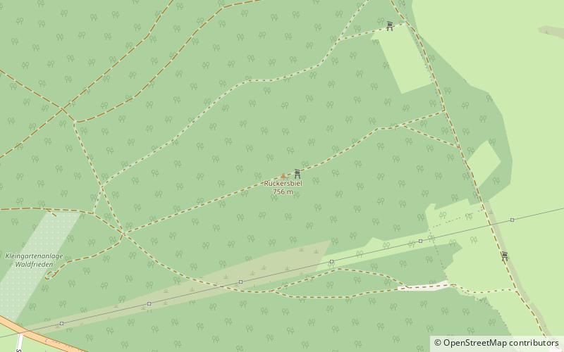
Rückersbiel
45 min walk • The Rückersbiel a 755.6 m high mountain located in the Thuringian Highland, Thuringia. It is located close to the municipality of Lichte and the Leibis-Lichte Dam in the Saalfeld-Rudolstadt district in the Thuringian Forest Nature Park.
 Nature, Natural attraction, Mountain
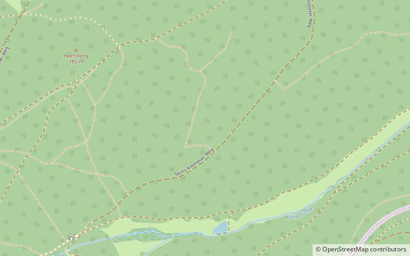
Apelsberg
24 min walk • The Apelsberg is a 785.3 m high mountain located in the Thuringian Highland, Thuringia. It is located close to the municipality of Lichte and the Leibis-Lichte Dam in the Saalfeld-Rudolstadt district in the Thuringian Forest Nature Park.
 Nature, Natural attraction, Mountain
Sauhügel
59 min walk • The Sauhügel is a 721.7 m high mountain located in the Thuringian Highland, Thuringia. It is located close to the municipality of Lichte and the Leibis-Lichte Dam in the Saalfeld-Rudolstadt district in the Thuringian Forest Nature Park within walking distance of the Rennsteig.
 Museum
Morassina
84 min walk • Morassina is an inactive mine in Schmiedefeld, Thuringia, Germany. Today it is a tourist attraction known for its stalactites.
 Nature, Natural attraction, Mountain
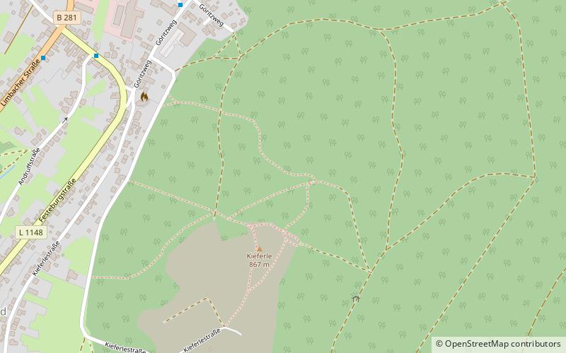
Kieferle
100 min walk • The Kieferle, near Steinheid in the county of Sonneberg, is a mountain, 867.2 m above sea level, in the Thuringian Highland and the second highest mountain of this range, which forms the eastern part of the Thuringian Forest.
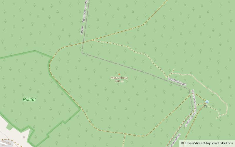 Nature, Natural attraction, Mountain
Mutzenberg
80 min walk • The Mutzenberg is a 770.0 m high mountain located in the Thuringian Highland, Thuringia. It is to be found close to the municipality of Lichte, and the Leibis-Lichte Dam in the Saalfeld-Rudolstadt district in the Thuringian Forest Nature Park.
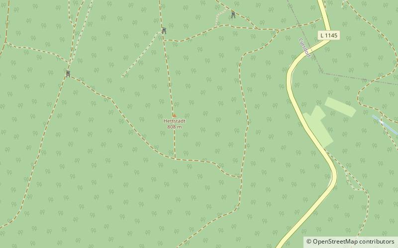 Nature, Natural attraction, Mountain
Hettstädt
97 min walk • The Hettstädt is a mountain between Oberweißbach/Thür. Wald and Neuhaus am Rennweg. At 808 metres, it is one of the highest mountains in the Thuringian Highland. It is best accessed from the road between Cursdorf and Neuhaus am Rennweg.
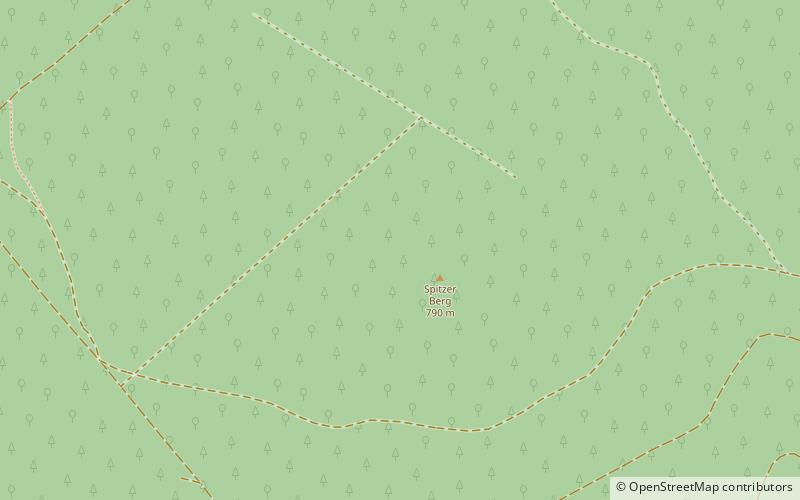 Nature, Natural attraction, Mountain
Spitzer Berg
97 min walk • The Spitzer Berg is a 790.3 m high mountain located in the Thuringian Highland, Thuringia. It is located close to the municipality of Lichte and the Leibis-Lichte Dam in the Saalfeld-Rudolstadt district in the Thuringian Forest Nature Park within walking distance of the Rennsteig.
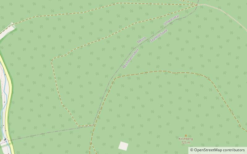 Nature, Natural attraction, Mountain
Aßberg
144 min walk • The Aßberg is a 703-m high mountain located in the Thuringian Highland region of Thuringia, Germany. It is located close to the municipalities of Deesbach, Meura, Reichmannsdorf, and Schmiedefeld and the Leibis-Lichte Dam in the Saalfeld-Rudolstadt district in the Thuringian Forest Nature Park.

