Kohlenschiffhafen, Hamburg
Map
Map

Facts and practical information
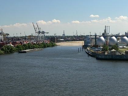
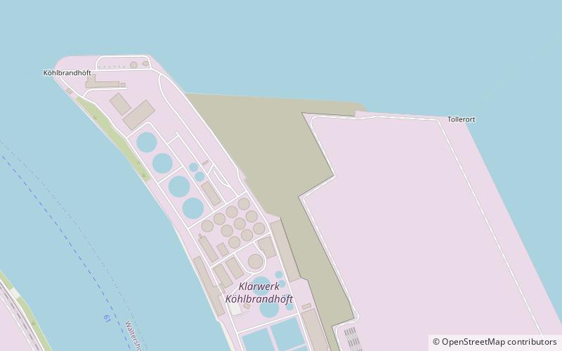
Kohlenschiffhafen is a harbour basin of the port of Hamburg, Germany, connected with the Norderelbe anabranch of River Elbe. It is located between the promontories of Köhlbrandhöft to the west and Tollerort to the east. It marks the former mouth of the Köhlbrand anabranch into the Norderelbe. ()
Address
Hamburg-Mitte (Steinwerder)Hamburg
ContactAdd
Social media
Add
Day trips
Kohlenschiffhafen – popular in the area (distance from the attraction)
Nearby attractions include: Große Freiheit 36, Kaiserkeller, Gruenspan, E1 European long distance path.
Frequently Asked Questions (FAQ)
Which popular attractions are close to Kohlenschiffhafen?
Nearby attractions include Altonaer Balkon, Hamburg (15 min walk), Palmaille, Hamburg (15 min walk), Fish Auction Hall, Hamburg (17 min walk), Rathaus Altona, Hamburg (18 min walk).
How to get to Kohlenschiffhafen by public transport?
The nearest stations to Kohlenschiffhafen:
Bus
Ferry
Light rail
Train
Metro
Bus
- Große Elbstraße • Lines: 111 (12 min walk)
- Sandberg • Lines: 111 (12 min walk)
Ferry
- Dockland • Lines: 61, 62 (12 min walk)
- Altona • Lines: 61, 62 (16 min walk)
Light rail
- Königstraße • Lines: S1, S2, S3 (18 min walk)
- Hamburg-Altona • Lines: S1, S11, S2, S3, S31 (28 min walk)
Train
- Hamburg-Altona (30 min walk)
Metro
- St. Pauli • Lines: U3 (38 min walk)
