Köhlbrand Bridge, Hamburg
Map
Gallery
Facts and practical information
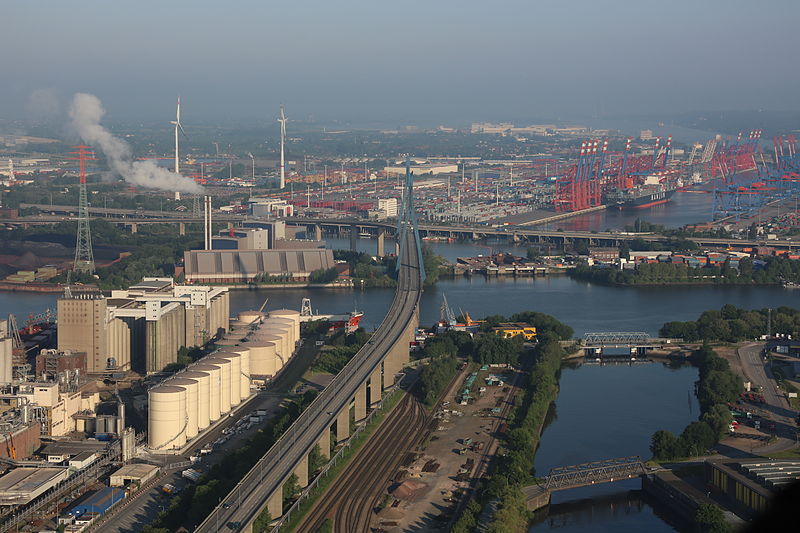
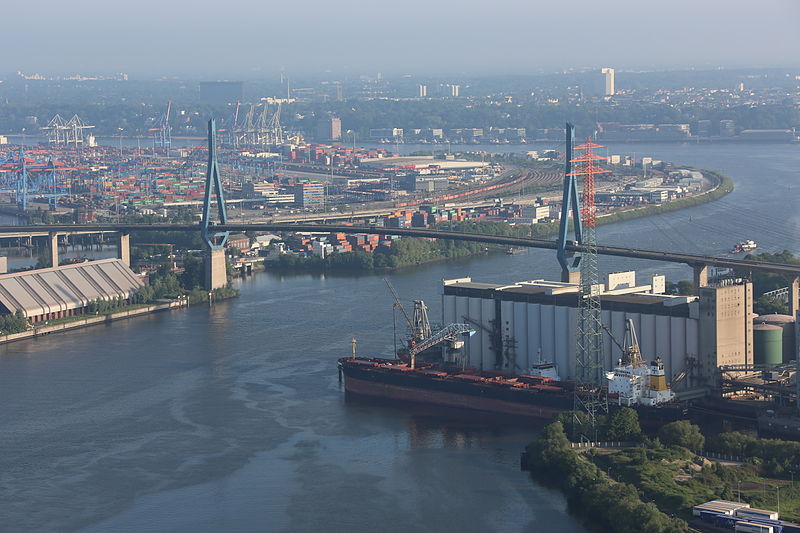
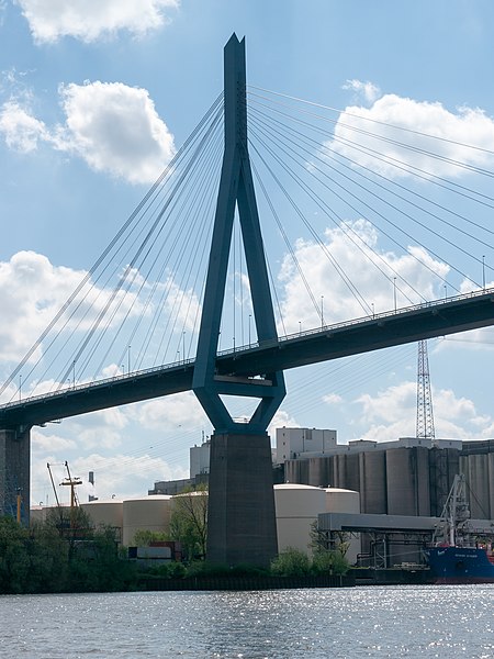
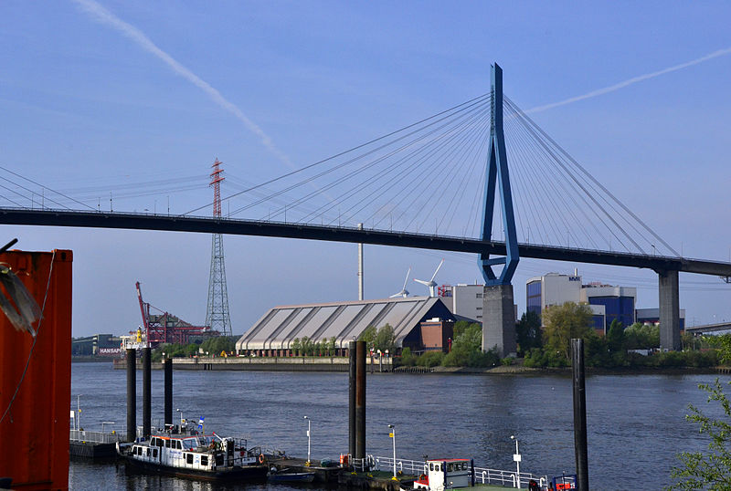
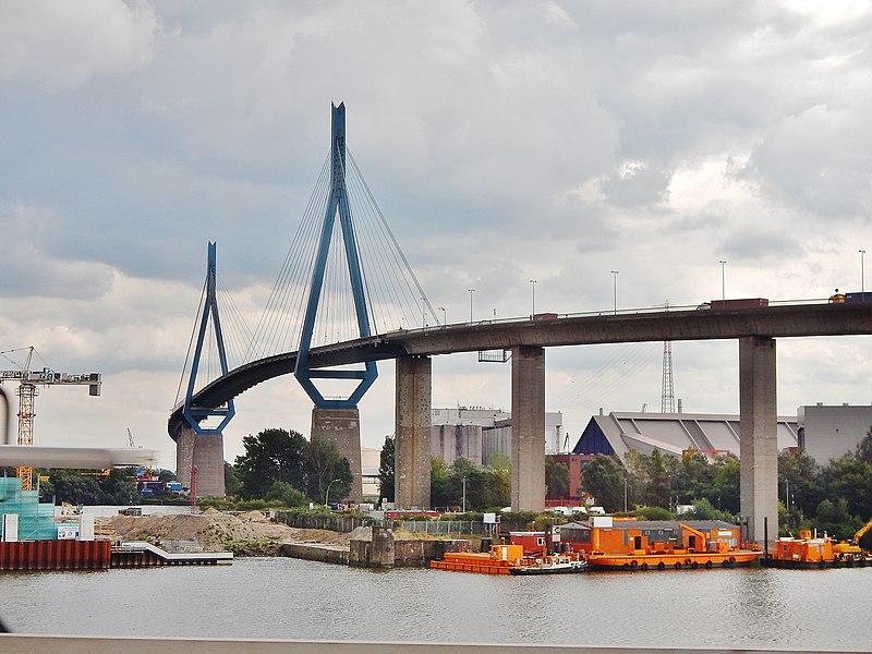
The Köhlbrand Bridge is a cable-stayed bridge in Hamburg, Germany, which connects the harbor area on the island of Wilhelmsburg between the Norderelbe and Süderelbe branches of the Elbe river with motorway 7. It bridges the Süderelbe, here called Köhlbrand, before it unites with the Norderelbe again. The bridge was opened on 9 September 1974. ()
Local name: Köhlbrandbrücke Length: 2.25 miWidth: 57 ftHeight: 443 ftCoordinates: 53°31'18"N, 9°56'19"E
Address
Hamburg-Mitte (Wilhelmsburg)Hamburg
ContactAdd
Social media
Add
Day trips
Köhlbrand Bridge – popular in the area (distance from the attraction)
Nearby attractions include: E1 European long distance path, Altonaer Museum, Fish Auction Hall, Hafenstraße.
Frequently Asked Questions (FAQ)
How to get to Köhlbrand Bridge by public transport?
The nearest stations to Köhlbrand Bridge:
Ferry
Bus
Ferry
- Neuhof • Lines: 61 (5 min walk)
- Waltershof • Lines: 61 (7 min walk)
Bus
- Nippoldstraße • Lines: 152 (7 min walk)
- Neuhof • Lines: 152 (8 min walk)


