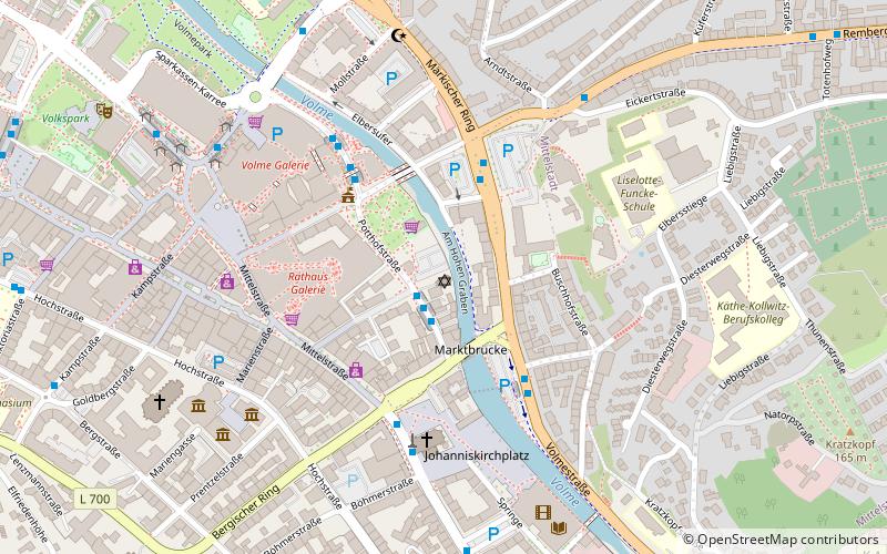
Synagoge Hagen, Hagen
Map

Map

Facts and practical information
The Jewish community of Hagen was founded in 1819. It is a member of the State Association of Jewish Communities of Westphalia-Lippe.
Coordinates: 51°21'27"N, 7°28'40"E
Address
16 PotthofstraßeHagen
ContactAdd
Social media
Add
Day trips
Synagoge Hagen – popular in the area (distance from the attraction)
Nearby attractions include: Rathaus Galerie, Volme Galerie, Osthaus Museum Hagen, Hagen Theatre.
Frequently Asked Questions (FAQ)
Which popular attractions are close to Synagoge Hagen?
Nearby attractions include Emil Schumacher Museum, Hagen (6 min walk), Osthaus Museum Hagen, Hagen (6 min walk), Theater an der Volme, Hagen (10 min walk), Hagen Theatre, Hagen (13 min walk).
How to get to Synagoge Hagen by public transport?
The nearest stations to Synagoge Hagen:
Bus
Train
Bus
- Dahlenkampstraße • Lines: 510, 512, 516, E115, E123, E129, E17, E2, E26, E28, E31, E8, Ne3, Ne4 (1 min walk)
- Märkischer Ring • Lines: 518, 519, 527, Ne2 (3 min walk)
Train
- Hagen-Oberhagen (12 min walk)
- Hagen Hbf (22 min walk)


