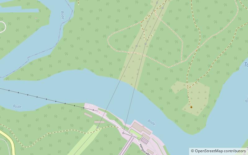
Wendefurth Dam
Map

Map

Facts and practical information
The Wendefurth Dam near Wendefurth in the Harz is one of the dams downstream of the Rappbode Dam, that provides flood protection as well as impounding the River Bode to provide the lower reservoir for the Wendefurth Power Station. In addition it is a bathing lake and also supports fish farming. ()
Local name: Talsperre Wendefurth Opened: 1966 (60 years ago)Length: 755 ftHeight: 143 ftReservoir area: 192.74 acres (0.3012 mi²)Elevation: 1194 ft a.s.l.Coordinates: 51°44'29"N, 10°54'22"E
Location
Saxony-Anhalt
ContactAdd
Social media
Add
Day trips
Wendefurth Dam – popular in the area (distance from the attraction)
Nearby attractions include: Bode Gorge, Baumann's Cave, Schurre, Hermann's Cave.


