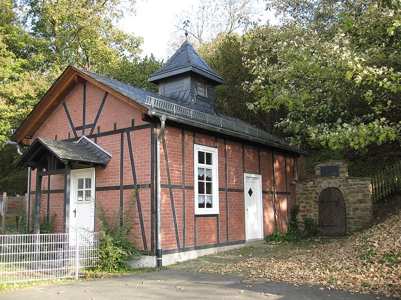
Wodanstolln

Gallery (2)
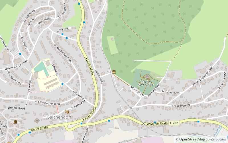
Map
Map
Gallery
Facts and practical information
The Wodanstolln is an exhibition mine in Salchendorf, today a district of the municipality of Neunkirchen in the district of Siegen-Wittgenstein.
Coordinates: 50°47'54"N, 8°1'8"E
Location
Arbachstr. 28aSalchendorf 57290 North Rhine-Westphalia
Contact
+49 1514 0506006
Social media
Add
Day trips


