Karnevalsmuseum, Cologne
Map

Map

Facts and practical information
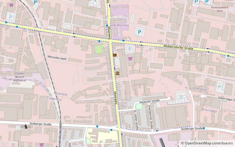
The Cologne Carnival Museum is the largest carnival museum in Germany. It is located in the Ehrenfeld district of Cologne and is open irregularly only once a month.
Coordinates: 50°56'40"N, 6°53'55"E
Address
134 MaarwegEhrenfeldCologne
ContactAdd
Social media
Add
Day trips
Karnevalsmuseum – popular in the area (distance from the attraction)
Nearby attractions include: Live Music Hall, RheinEnergieStadion, Melaten Cemetery, Museum of East Asian Art.
Frequently Asked Questions (FAQ)
How to get to Karnevalsmuseum by public transport?
The nearest stations to Karnevalsmuseum:
Bus
Tram
Train
Bus
- Geilenkircher Straße • Lines: 140 (5 min walk)
- Stolberger Straße/Eupener Straße • Lines: 140 (12 min walk)
Tram
- Maarweg • Lines: 1 (13 min walk)
- Clarenbachstift • Lines: 1 (14 min walk)
Train
- Köln-Müngersdorf/Technologiepark (14 min walk)
- Köln-Ehrenfeld (24 min walk)


