Rathaus Stadt Wuppertal, Wuppertal
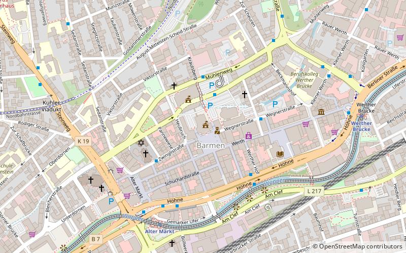
Map

Map

Facts and practical information
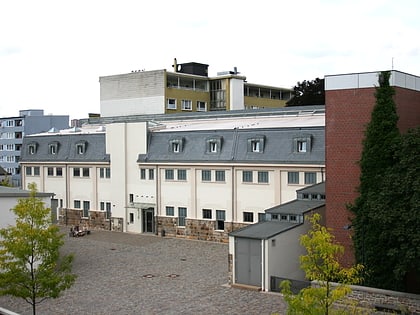
Barmen City Hall, also called Barmer Rathaus, is the seat of the council of the city of Wuppertal and the headquarters of the city administration.
Coordinates: 51°16'20"N, 7°12'0"E
Day trips
Rathaus Stadt Wuppertal – popular in the area (distance from the attraction)
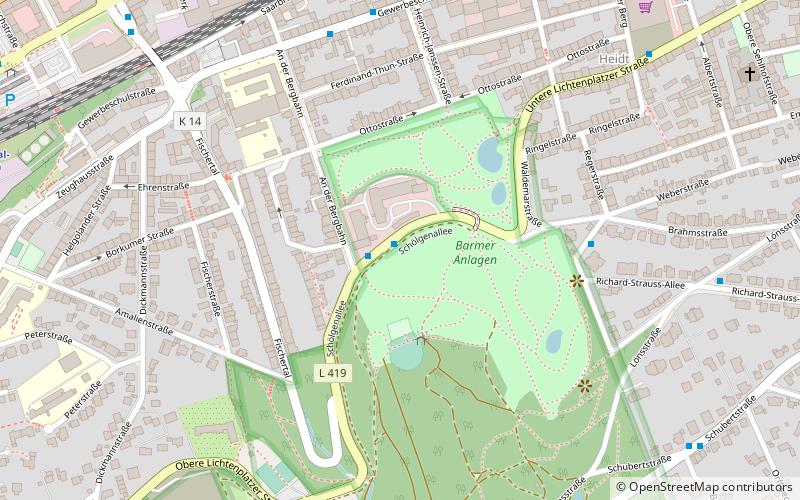
Nearby attractions include: Engels-Haus, Brasserie im Opernhaus, Museum für Frühindustrialisierung, Barmer Anlagen.
Frequently Asked Questions (FAQ)
Which popular attractions are close to Rathaus Stadt Wuppertal?
Nearby attractions include Werth, Wuppertal (3 min walk), Synagogue, Wuppertal (3 min walk), Gemarker Kirche, Wuppertal (3 min walk), Otto Graf von Bismarck, Wuppertal (4 min walk).
How to get to Rathaus Stadt Wuppertal by public transport?
The nearest stations to Rathaus Stadt Wuppertal:
Bus
Train
Bus
- Heubruch/Rathaus • Lines: 610, 632 (2 min walk)
- Alter Markt • Lines: 332, 608, 610, 624 (4 min walk)
Train
- Alter Markt (5 min walk)
- Werther Brücke (8 min walk)


