Barmer Anlagen, Wuppertal
Facts and practical information
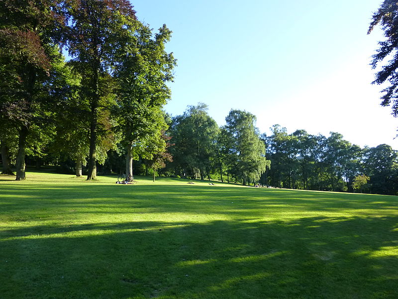
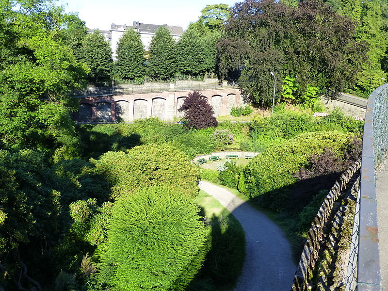
The Barmer Anlagen are the second largest private park in Germany, which is nevertheless freely accessible to the public. They are located in the Wuppertal district of Barmen, which was an independent major city in the Bergisches Land region until its unification with the neighboring city of Elberfeld in 1929. The grounds were designed from 1864 onwards according to plans by the royal horticultural director Joseph Clemens Weyhe.
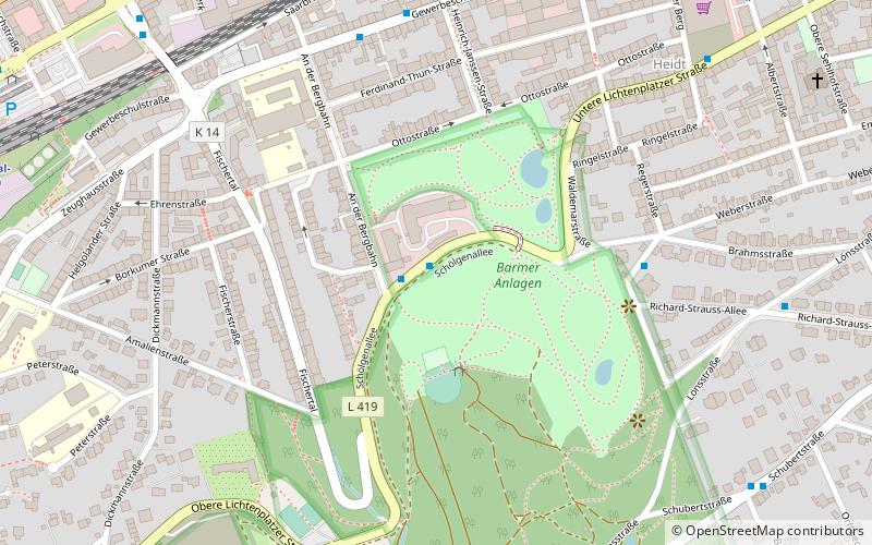
The park extends from the Heidt residential district on the southern edge of the Barmer inner city area up to the Barmer Südhöhen with the Barmer forest around the Toelle Tower at an elevation of 330 meters above sea level in the Lichtenplatz residential district. The difference in elevation between the northern part and the highest elevation is about 135 meters with a length extension in north-south direction of about 1200 meters. The area, including the part of the Barmer Forest belonging to the facilities, is about 300 hectares, of which 77 hectares are owned by the Barmer Verschönerungsverein and 212 hectares by the city of Wuppertal. About 100 hectares of the grounds are designed as landscape gardens.
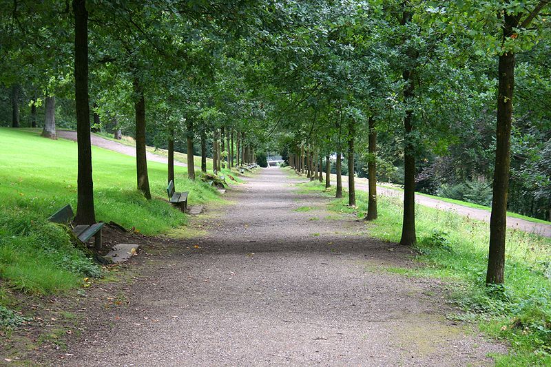
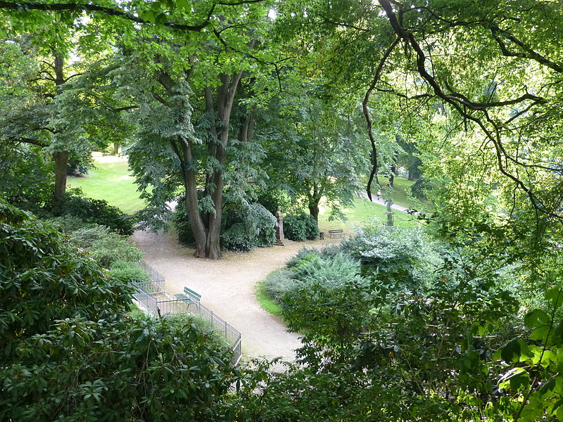
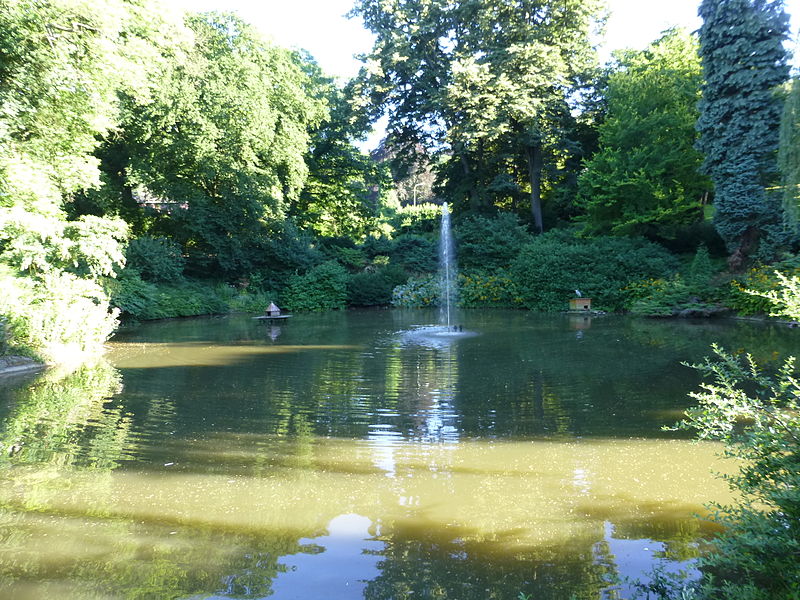
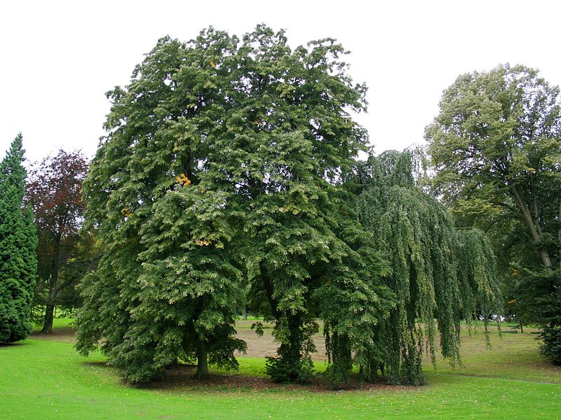
The Barmer Anlagen are divided into three parts by the east-west running roads Untere Lichtenplatzer Straße, which is qualified as state road 419, and Lönsstraße. The smaller part of the Barmer Anlagen, north of Untere Lichterplatzer Straße and at its lowest point, has a park-like character with two ponds and lawns with old trees. In the central part, where more ponds and more extensive lawns have been laid out, the landscape garden merges with the Barmer forest as the elevation rises. The southern part, especially south of Lönsstraße down to the Murmelbach valley, consists mainly of a closed forest area with numerous forest paths. At the highest point is the Toelle Tower, which can be climbed as a lookout tower on selected days during the summer months.
There are numerous monuments, memorial stones and commemorative plaques on the grounds. One of the monuments commemorates the Barmer Bergbahn, a rack-and-pinion railroad that was shut down in 1959 and whose former route led for long stretches through the park to the Toelle Tower and whose course was made recognizable in the form of a double row of granite steles in the park grounds as part of the Regionale 2006. The very attractively designed Vorwerkpark and a cemetery of honor, which is enclosed by the park, adjoin the facilities. Furthermore, the park grounds included the sites of the buildings of the Barmer Stadthalle, the Barmer Planetarium and the Meierei Fischertal, which were destroyed in the Second World War and not rebuilt.
The Barmer gardens have been in the care of the Barmer Verschönerungsverein since the beginning, which is financed by membership fees and donations and pays for their upkeep. They are one of 57 parks and landscape gardens on the Road of Garden Art between the Rhine and the Meuse, a cross-border association of particularly beautiful and high-quality, mostly historic gardens in North Rhine-Westphalia and the Netherlands.
In September 2013, the European Garden Heritage Network announced that the Barmer facilities would be named a partner garden and receive the EGHN plaque in the year of its 150th anniversary, 2014. This makes them one of currently 180 European gardens in the network of culturally and historically significant gardens. The plaque was presented by LVR representatives on February 14, 2014.
Barmer Anlagen – popular in the area (distance from the attraction)
Nearby attractions include: Engels-Haus, Brasserie im Opernhaus, Museum für Frühindustrialisierung, Barmen.
Frequently Asked Questions (FAQ)
Which popular attractions are close to Barmer Anlagen?
How to get to Barmer Anlagen by public transport?
Bus
- An der Bergbahn • Lines: 644, Ne5 (3 min walk)
- Barmen Bahnhof • Lines: 644 (6 min walk)
Train
- Alter Markt (7 min walk)
- Wuppertal-Barmen (9 min walk)


