Sandkaulpark, Aachen
Map

Gallery

Facts and practical information
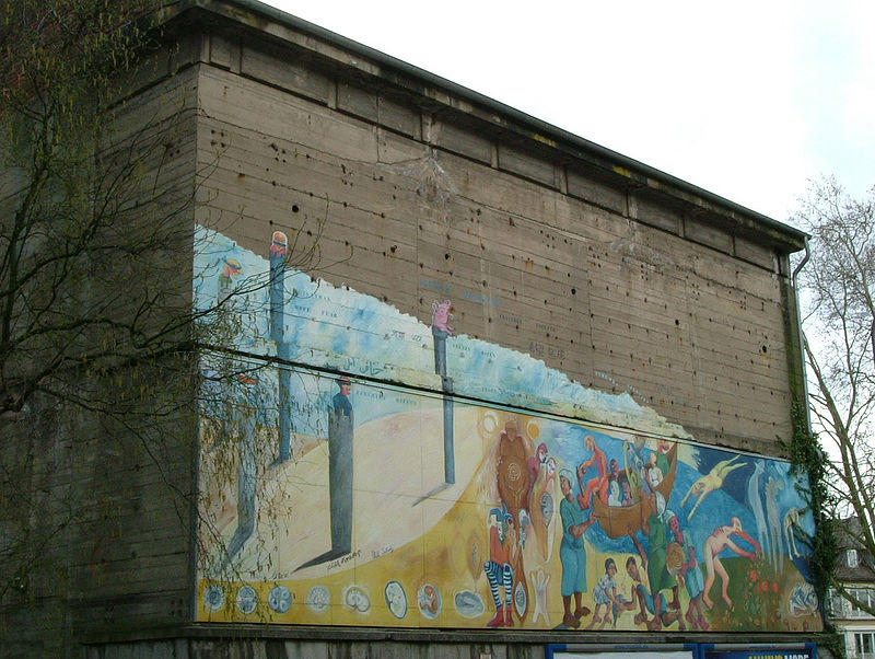
The Sandkaulpark is the second largest park within the Aachener Alleenring after the Elisengarten. It was created as one of the few inner-city areas by the so-called escape line straightening after the war in Aachen. The residential buildings, most of which were damaged by bombing, were demolished. The park is located within the monument area of protection zone B
Elevation: 584 ft a.s.l.Coordinates: 50°46'48"N, 6°5'19"E
Address
Aachen Mitte (Innenstadt)Aachen
ContactAdd
Social media
Add
Day trips
Sandkaulpark – popular in the area (distance from the attraction)
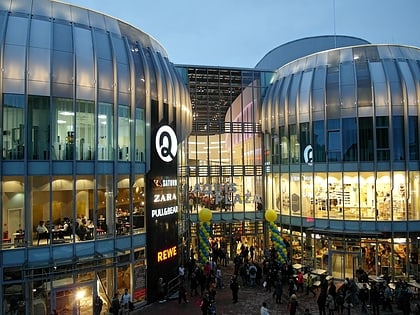
Nearby attractions include: City Hall, Statue of Charlemagne, Aquis Plaza, Palatine Chapel.
Frequently Asked Questions (FAQ)
Which popular attractions are close to Sandkaulpark?
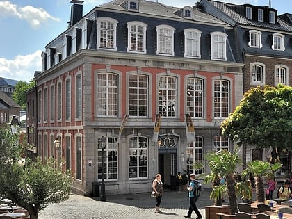
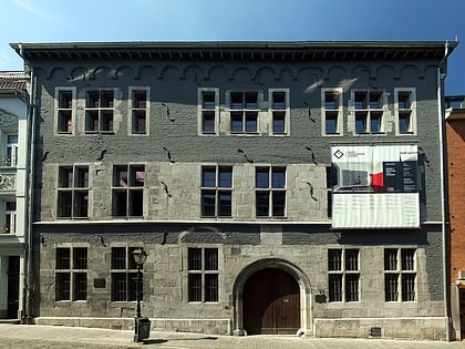
Nearby attractions include Stadtbibliothek Aachen, Aachen (4 min walk), St. Peter's Church, Aachen (5 min walk), Röhrenbrunnen, Aachen (5 min walk), St. Nicholas, Aachen (6 min walk).
How to get to Sandkaulpark by public transport?
The nearest stations to Sandkaulpark:
Bus
Train
Bus
- Eurogress • Lines: 13, 3, 54, N 9 (3 min walk)
- Minoritenstraße • Lines: 1, 147, 17, 173, 27, 33, 37, 4, 41, 43, 47, 7, 73, N 2, N 4 (5 min walk)
Train
- Aachen West (22 min walk)
- Aachen Hauptbahnhof (22 min walk)


