Großer Ehrenberg
#2490 among destinations in Germany

Facts and practical information
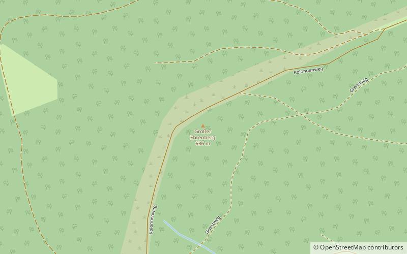
The Großer Ehrenberg is a mountain, 635.5 m above sea level, and the highest peak in the Thuringian part of the Harz mountains. It is also the highest point of the county of Nordhausen in Germany. ()
ThuringiaGermany
Großer Ehrenberg – popular in the area (distance from the attraction)
Nearby attractions include: Sorge Border Museum, Carlshaushöhe, Hasselkopf, Drei-Länder-Stein.
 Museum
Sorge Border Museum
107 min walk • Nestled in the heart of Germany's Harz region, the Sorge Border Museum stands as a poignant reminder of the country's divided past. This museum, located in the small village of Sorge, offers a glimpse into the realities of life along the inner German border during the...
 Nature, Natural attraction, Mountain
Carlshaushöhe
127 min walk • The Carlshaushöhe is a mountain, 626.3 m, in the Harz in the German state of Saxony-Anhalt.
 Nature, Natural attraction, Mountain
Hasselkopf
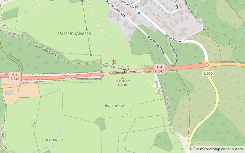
159 min walk • Hasselkopf is a mountain on the southern periphery of Braunlage, Germany. It is 612 m high. The hill is mostly covered in grass and undeveloped, but its northern slope has a short ski lift and can be used for downhill skiing in the winter months.
 Memorial
Drei-Länder-Stein
21 min walk • The Drei-Länder-Stein is a boundary stone at the tripoint of the German federal states of Lower Saxony, Saxony-Anhalt and Thuringia near the Großer Ehrenberg mountain in the Harz.
 Specialty museum, History museum, Church
ZisterzienserMuseum Kloster Walkenried, Walkenried
117 min walk • Walkenried Abbey was a Cistercian abbey located in the village of Walkenried in Lower Saxony, Germany. Founded in 1127 on the southern rim of the Harz mountain range, the remnants of the monastic complex since 2010 are part of the Upper Harz Water Regale World Heritage Site.
 Nature, Natural attraction, Hill
Jagdkopf
88 min walk • The Jagdkopf a hill, 603.1 m above sea level high, in the Harz Mountains of Germany. It is located between the villages of Wieda and Zorge in the unincorporated area of Harz in the district of Göttingen in the state of Lower Saxony.
 Nature, Natural attraction, Hill
Kapitelsberg
143 min walk • The Kapitelsberg in the Harz Mountains of Germany is a hill, 535.7 m above sea level, near the village of Tanne in the county of Harz, Saxony-Anhalt.
 Nature, Natural attraction, Rock
Gänseschnabel, Ilfeld
145 min walk • The Gänseschnabel is a natural monument north of Ilfeld in Thuringia, Germany. It is a striking, free-standing rock pillar made of porphyry, which resembles the beak of a goose and from which there is a comprehensive view of the Behre valley looking towards Netzkater.
 Forts and castles
Trageburg
173 min walk • The Trageburg is a ruined castle immediately next to the Rappbode Pre-Dam in the Harz Mountains of Germany. It is located near Trautenstein in the district of Harz in Saxony-Anhalt.
 Nature, Natural attraction, Hill
Sandlünz
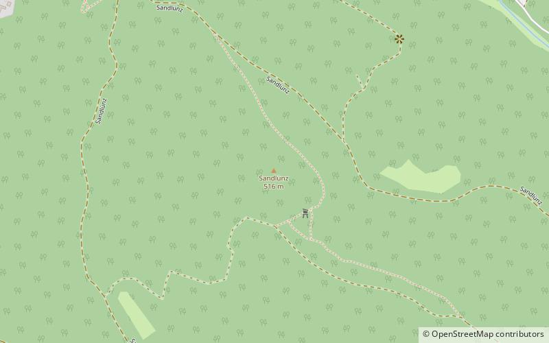
137 min walk • The Sandlünz is a hill in the Harz Mountains of Germany. It is 516.2 m above sea level and located near Netzkater in the county of Nordhausen in the state of Thuringia.
 Tower
TowerPoppenberg Observation Tower
155 min walk • Poppenberg Observation Tower is a steel German lattice observation tower that is used for observation, at the same time, for communication. It is a truss tower located in the summit of Poppenberg. It is one of the oldest steel lattice towers in Germany and was built in the year 1897. It was later on refurbished in 1994.