Sandlünz
#2279 among destinations in Germany

Facts and practical information
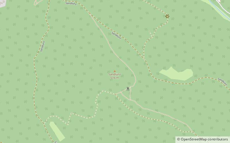
The Sandlünz is a hill in the Harz Mountains of Germany. It is 516.2 m above sea level and located near Netzkater in the county of Nordhausen in the state of Thuringia. ()
ThuringiaGermany
Sandlünz – popular in the area (distance from the attraction)
Nearby attractions include: Hohnstein Castle, KZ Gedenkstätte Mittelbau Dora, Poppenberg, Carlshaushöhe.
 Forts and castles
Hohnstein Castle
66 min walk • Hohnstein Castle, perched atop a rocky promontory in the Saxon Switzerland region of Germany, is a testament to medieval architecture and a storied past. This formidable fortress, with origins dating back to the early 12th century, has served various roles throughout...

 Nature, Natural attraction, Hill
Poppenberg
38 min walk • The Poppenberg is a tree-covered hill east of Ilfeld in the Harz mountains of Germany, at an elevation of 601 metres. Since 1897, there has been a 33-metre-high steel lattice observation tower on the summit.
 Nature, Natural attraction, Mountain
Carlshaushöhe
104 min walk • The Carlshaushöhe is a mountain, 626.3 m, in the Harz in the German state of Saxony-Anhalt.
 Hill with a storied WWII history
Kohnstein
122 min walk • The Kohnstein is a hill in Thuringia, Germany, 2 kilometres southwest of the village of Niedersachswerfen and 3 kilometres northwest of the centre of the town of Nordhausen.
 Memorial
Drei-Länder-Stein
129 min walk • The Drei-Länder-Stein is a boundary stone at the tripoint of the German federal states of Lower Saxony, Saxony-Anhalt and Thuringia near the Großer Ehrenberg mountain in the Harz.
 Nature, Natural attraction, Rock
Gänseschnabel, Ilfeld
23 min walk • The Gänseschnabel is a natural monument north of Ilfeld in Thuringia, Germany. It is a striking, free-standing rock pillar made of porphyry, which resembles the beak of a goose and from which there is a comprehensive view of the Behre valley looking towards Netzkater.
 Dam
DamTalsperre Neustadt
84 min walk • The Neustadt Dam, also known as the Nordhausen Dam, is the oldest dam in the Free State of Thuringia in Germany. It supplies drinking water to the town of Nordhausen. The dam is a curved gravity dam made of rubble stone, based on the Intze Principle.
 Nature, Natural attraction, Protected area
Ziegenberg
102 min walk • The Ziegenberg is a low ridge between the villages of Benzingerode and Heimburg on the northern edge of the Harz Mountains in central Germany. The ridge is a designated nature reserve.
 Tower
TowerPoppenberg Observation Tower
25 min walk • Poppenberg Observation Tower is a steel German lattice observation tower that is used for observation, at the same time, for communication. It is a truss tower located in the summit of Poppenberg. It is one of the oldest steel lattice towers in Germany and was built in the year 1897. It was later on refurbished in 1994.
 Nature, Natural attraction, Mountain
Großer Ehrenberg
137 min walk • The Großer Ehrenberg is a mountain, 635.5 m above sea level, and the highest peak in the Thuringian part of the Harz mountains. It is also the highest point of the county of Nordhausen in Germany.