Poppenberg

Gallery (1)
Map
Map
Facts and practical information
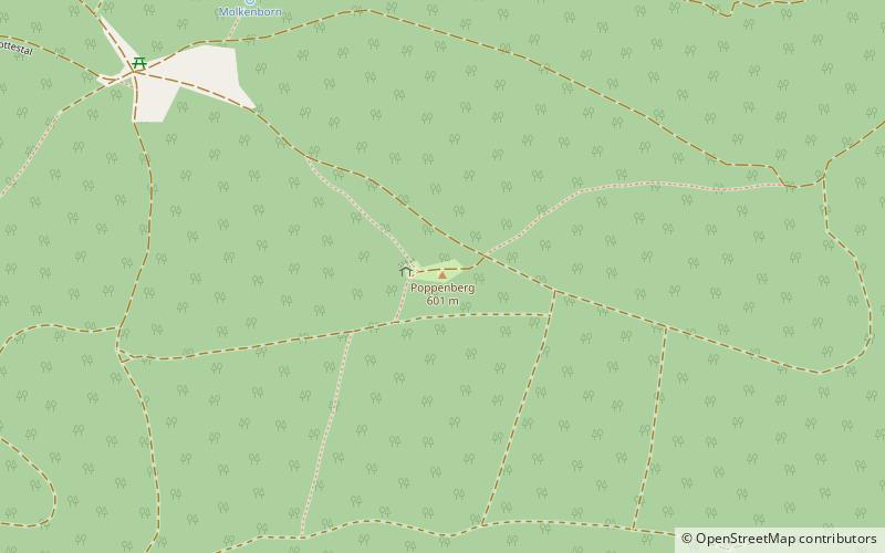
The Poppenberg is a tree-covered hill east of Ilfeld in the Harz mountains of Germany, at an elevation of 601 metres. Since 1897, there has been a 33-metre-high steel lattice observation tower on the summit. The tower was built by the Nordhausen branch of the Harz Club and was named after Otto, Prince of Stolberg-Wernigerode. In good weather, it has an extensive view over the South Harz, the Goldene Aue and the Kyffhäuser. ()
Location
Thuringia
ContactAdd
Social media
Add
Day trips