Ziegenberg

Gallery (2)
Map
Map
Gallery
Facts and practical information
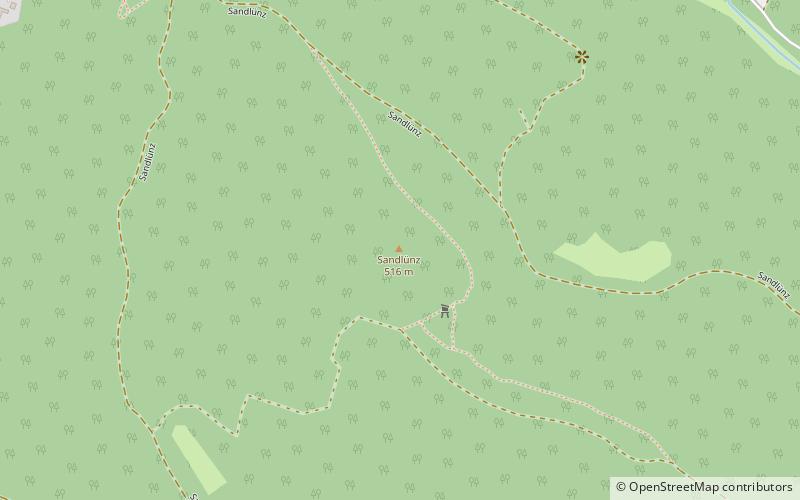
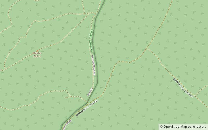
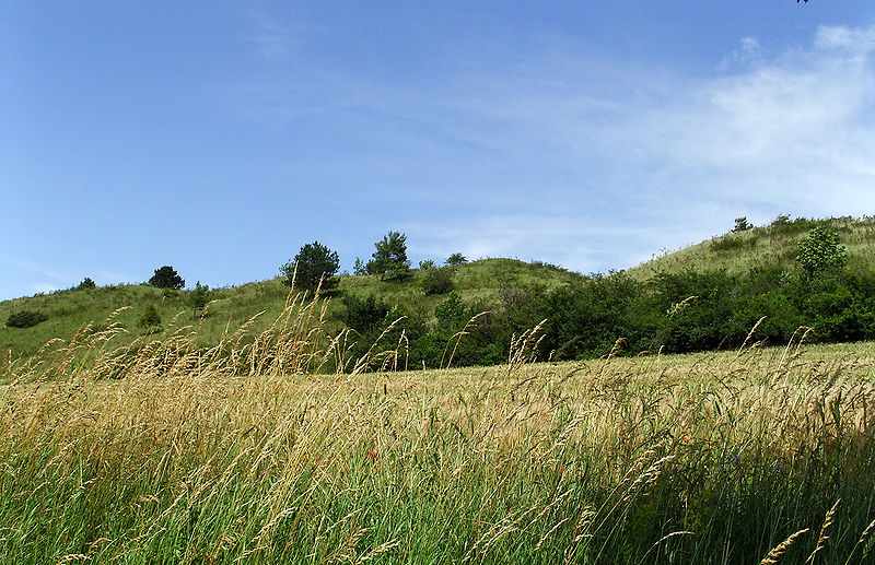
The Ziegenberg is a low ridge between the villages of Benzingerode and Heimburg on the northern edge of the Harz Mountains in central Germany. The ridge is a designated nature reserve. The reserve has an area of 88.4 hectares and has a variety of habitats including mesophytic grassland, bushes, pine woods and wet meadows. Its highest points are the eponymous Ziegenberg and the Struvenberg ()
Local name: Naturschutzgebiet Ziegenberg bei Heimburg Area: 218.44 acres (0.3413 mi²)Coordinates: 51°35'20"N, 10°53'19"E
Location
Saxony-Anhalt
ContactAdd
Social media
Add
Day trips