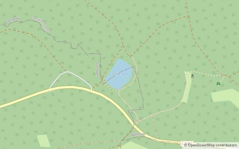
Stellbergsee

Gallery (1)
Map
Map
Facts and practical information
Stellbergsee is a lake in Söhre, Landkreis Kassel and Schwalm-Eder-Kreis, Hesse, Germany. At an elevation of 356 m, its surface area is 0.014 km². ()
Alternative names: Area: 3.46 acres (0.0054 mi²)Maximum depth: 98 ftElevation: 1191 ft a.s.l.Coordinates: 51°12'47"N, 9°33'8"E
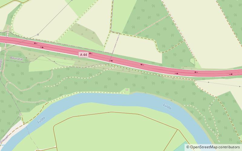
Location
Hesse
ContactAdd
Social media
Add
Day trips