Rathaus Velten, Velten

Gallery (1)
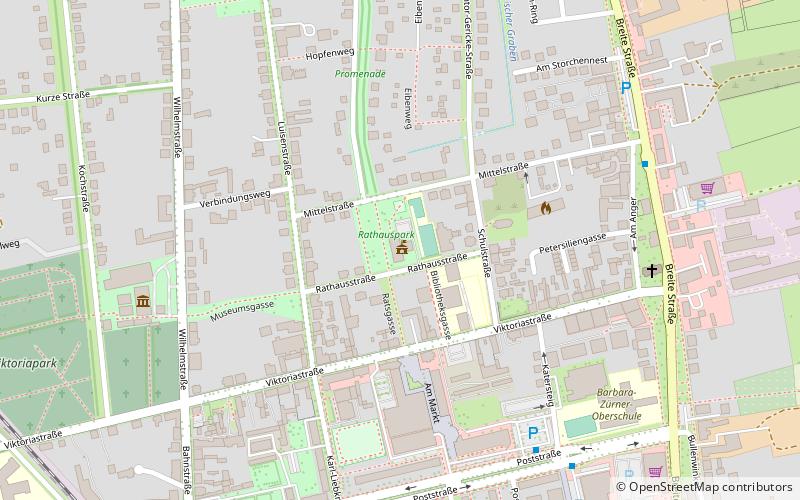
Map
Map
Facts and practical information
Rathaus Velten (address: 10 Rathaus straße) is a place located in Velten (Brandenburg state) and belongs to the category of city hall.
It is situated at an altitude of 118 feet, and its geographical coordinates are 52°41'23"N latitude and 13°10'36"E longitude.
Among other places and attractions worth visiting in the area are: Ofen- und Keramikmuseum (specialty museum, 7 min walk), Dorfkirche Pinnow (church, 80 min walk), Wasserburg Vehlefanz (forts and castles, 96 min walk).
Coordinates: 52°41'23"N, 13°10'36"E
Day trips