Hüttenberg
Map

Gallery

Facts and practical information
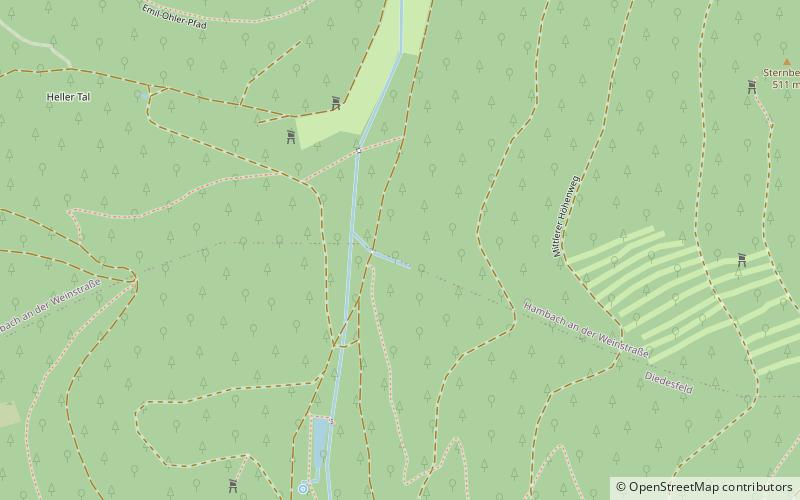
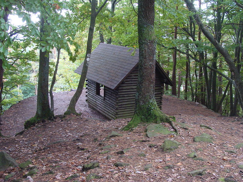
The Hüttenberg near Maikammer in the Rhineland-Palatinate county of Südliche Weinstraße is a subpeak, 620.1 m above sea level, of the Kalmit the highest mountain in the Haardt in the eastern Palatinate Forest of Germany. There is a blockfield, the Hüttenberg Felsenmeer, along the crest. ()
Location
Rhineland-Palatinate
ContactAdd
Social media
Add
Day trips
Hüttenberg – popular in the area (distance from the attraction)
Nearby attractions include: Hambacher Schloss, Kalmit, Hohe Loog, Erfenstein Castle.


