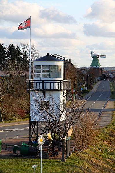
Hollern-Twielenfleth

Gallery (2)
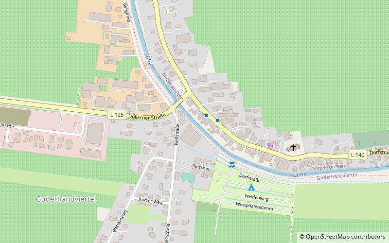
Map
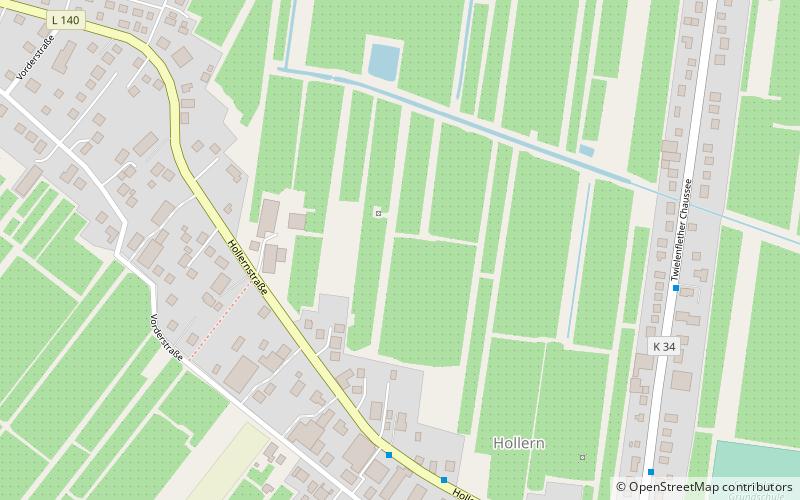
Map
Gallery
Facts and practical information
Hollern-Twielenfleth is a municipality in the district of Stade, Lower Saxony, Germany. ()
Day trips
Hollern-Twielenfleth is a municipality in the district of Stade, Lower Saxony, Germany. ()
Where to next? Visit ![]() Lower Saxony region page or discover the top tourist attractions in Germany.
Lower Saxony region page or discover the top tourist attractions in Germany.