Volkspark Marienberg, Nuremberg
Map

Gallery

Facts and practical information
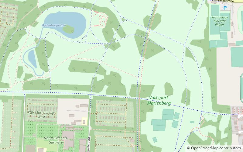
Volkspark Marienberg is an English-style landscape garden in the north of Nuremberg and the second largest public park in the city. Volkspark Marienberg is also the name of District 831 in District 83 Marienberg, but its area is not identical to the green space.
Elevation: 1060 ft a.s.l.Coordinates: 49°28'50"N, 11°5'28"E
Day trips
Volkspark Marienberg – popular in the area (distance from the attraction)
Nearby attractions include: MERKS MOTOR MUSEUM Oldtimermuseum, Tucher Brewery, Reformations-Gedächtnis-Kirche, City park.
Frequently Asked Questions (FAQ)
How to get to Volkspark Marienberg by public transport?
The nearest stations to Volkspark Marienberg:
Bus
Metro
Train
Tram
Bus
- Tucherhof • Lines: 30, 31 (8 min walk)
- Ernst-Heinkel-Weg • Lines: 30, 31 (10 min walk)
Metro
- Ziegelstein • Lines: U2 (19 min walk)
- Nordostbahnhof • Lines: U2 (22 min walk)
Train
- Nürnberg Nordost (21 min walk)
Tram
- Bucher Straße/Nordring • Lines: 4 (34 min walk)
- Juvenellstraße • Lines: 4 (36 min walk)


