Bockwindmühle Klettbach

Gallery (1)
Map
Map
Facts and practical information
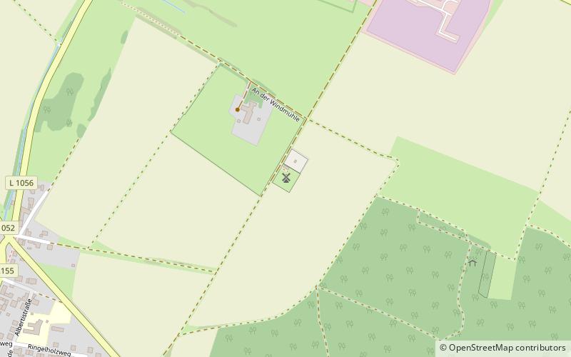
The Bockwindmühle in Klettbach is a special sight and a landmark of this Thuringian community near Erfurt. Until its destruction by hurricane Zeynep on the night of February 19, 2022, it stood 500 m northeast outside the village on a hill at an altitude of 437.7 m, making it the highest-altitude Bockwindmühle in Germany.
Coordinates: 50°55'2"N, 11°9'39"E
Day trips


