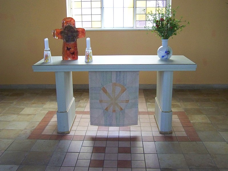
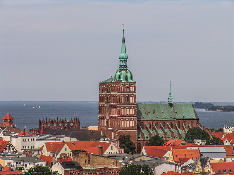
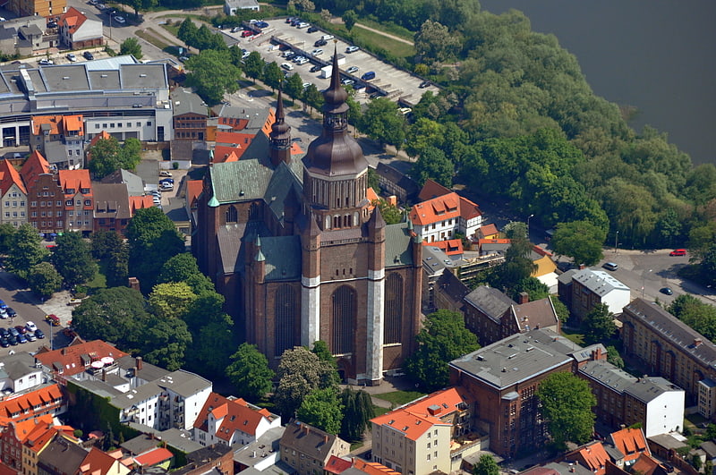
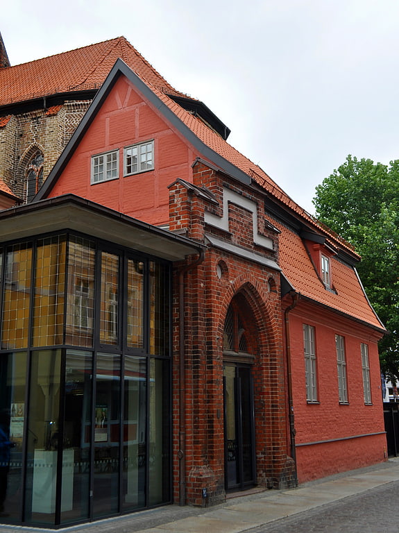
Luther Church, Stralsund

Gallery (3)
Map
Map
Gallery
Facts and practical information
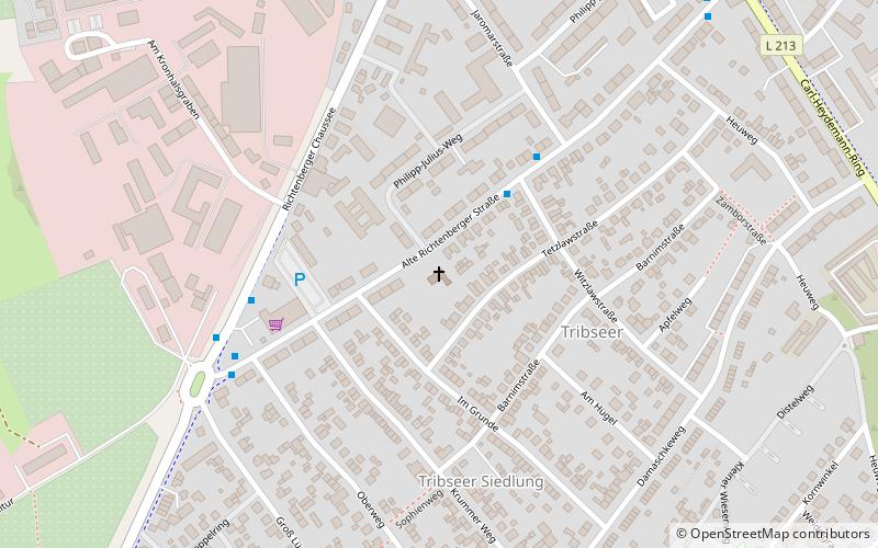
The Lutherkirche Stralsund is a church building in the Hanseatic city of Stralsund.
Coordinates: 54°18'5"N, 13°3'57"E
Address
87 Alte Richtenberger StraßeStralsund
ContactAdd
Social media
Add
Getting there by public transportation
Public transportation stops near this location
- Bus
- Ferry
 Bus
Bus
- Calculate routeWitzlawstraße 3 min walk
- Calculate routeGroß Lüdershäger Weg 5 min walk
- Calculate routeSophienweg 8 min walk
- Calculate routeAlte Richtenberger Straße 8 min walk
- Calculate routeFähre Stralsund - Altefähr 41 min walk
Day trips


Frequently Asked Questions (FAQ)
How to get to Luther Church by public transport?
The nearest stations to Luther Church:
Bus
Ferry
Bus
- Witzlawstraße • Lines: 4 (3 min walk)
- Groß Lüdershäger Weg • Lines: 4 (5 min walk)
Ferry
- Fähre Stralsund - Altefähr • Lines: Zingst-Stralsund (41 min walk)