Aschentalshalbe
#2405 among destinations in Germany

Facts and practical information
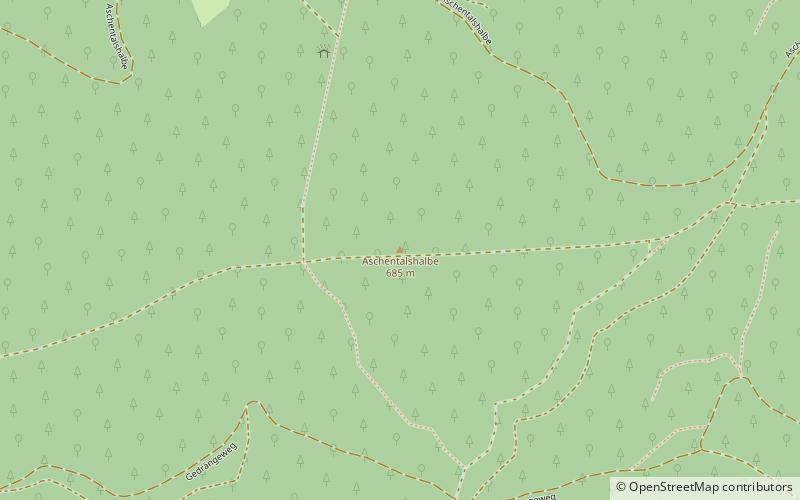
The Aschentalshalbe is a ridge in the Harz Mountains of Germany that is up to 685 m above sea level. It lies south of the village of Sieber in the unincorporated area of Harz in the district of Göttingen in the state of Lower Saxony. ()
Lower SaxonyGermany
Aschentalshalbe – popular in the area (distance from the attraction)
Nearby attractions include: Unicorn Cave, Oder Dam, Großer Knollen, Sankt Andreasberg.
 Nature, Natural attraction, Cave
Unicorn Cave
101 min walk • Unicorn Cave, situated in the Harz Mountains of Germany, is a natural wonder shrouded in myth and geological significance. This subterranean marvel, known in German as "Einhornhöhle," which translates to "Unicorn Cave," has captured the imagination of visitors for...
 Historic dam with an eatery and reservoir
Oder Dam
94 min walk • The Oder Dam is a dam in the Harz mountains of Germany. It lies above Bad Lauterberg in the district of Göttingen in Lower Saxony and impounds the river Oder. The dam went into service in 1934 after taking 3 years to build. The owner and operator of the Oder Dam is the Harzwasserwerke.
 Forested peak with trails and a viewpoint
Großer Knollen
42 min walk • The Großer Knollen is a 687.4-metre-high mountain in the southwestern part of the Harz in Lower Saxony, Germany.
 Town, Memorial
Sankt Andreasberg
84 min walk • Sankt Andreasberg is a former town in the district of Goslar, in Lower Saxony, Germany. Since 1 November 2011, it is part of the town Braunlage. It is situated in the Harz, approximately 7 km west of Braunlage proper, and 20 km east of Osterode am Harz.
 Nature, Natural attraction, Mountain
Koboltstaler Köpfe
31 min walk • The Koboltstaler Köpfe are a group of three mountains, that rise southwest of Sankt Andreasberg and east of Sieber in the district of Göttingen in Lower Saxony.
 Nature, Natural attraction, Mountain
Großer Wurzelnberg
74 min walk • The Großer Wurzelnberg rises to a height of 625.8 m above NN in the Harz mountains of central Germany. It lies 3.7 km northeast of Sieber in the district of Göttingen in Lower Saxony. It is a rounded summit on one of the ridges running southwards from the Acker and which forms the watershed between the Kleine Kulmke and the Große Kulmke.
 Nature, Natural attraction, Hill
Adlersberg
37 min walk • The Adlersberg is a hill in the Harz mountains of central Germany that lies south of Sieber in the district of Göttingen in Lower Saxony. It is 593.2 m high and is situated west of the Aschentalshalbe. It also separates the valley of Breitental with its river, the Tiefenbeek, from the Langental.
 Nature, Natural attraction, Hill
Eichelnkopf
79 min walk • The Eichelnkopf is a 545.7 m high hill in the southwestern part of the Harz Mountains in the central German state of Lower Saxony.
 Nature, Natural attraction, Hill
Schadenbeeksköpfe
19 min walk • The Schadenbeeksköpfe are two summits on a southeastern outlier of the Aschentalshalbe in the Harz Mountains of Germany, about 3.6 kilometres southeast of Sieber in the district of Göttingen in Lower Saxony.
 Nature, Natural attraction, Hill
Großer Mittelberg, Harz National Park
97 min walk • The Großer Mittelberg is a ridge in the Harz Mountains of Germany that begins immediately northeast of Lonau in the district of Göttingen in Lower Saxony. It separates the valley of Kirchtal, through which the Große Lonau flows, from the Mariental and the Kleine Lonau. is...
 Museum, Specialty museum, History museum
Grube Samson
85 min walk • The Samson Pit or Samson Mine is an historic silver mine in Sankt Andreasberg in the Upper Harz region of central Germany. The pit has one of the oldest man engines in the world still working and it can be seen in operation during guided tours.