Allach-Untermenzing, Munich
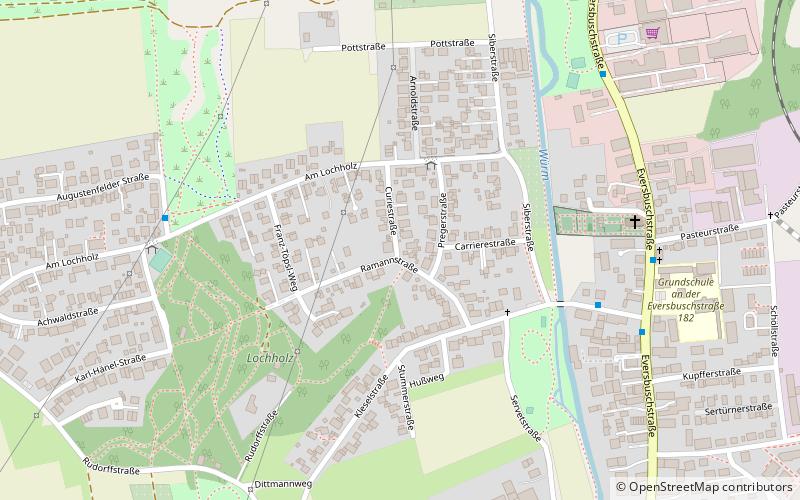
Map
Facts and practical information
Address
Allach - Untermenzing (Allach)Munich
ContactAdd
Social media
Add
Getting there by public transportation
Public transportation stops near this location
- Bus
- Train
 Bus
Bus
- Calculate routePregerstraße 3 min walk
- Calculate routeKarl-Hänel-Straße 7 min walk
- Calculate routeHohenadelweg 9 min walk
- Calculate routeServetstraße 11 min walk
- Calculate routeKarlsfeld 22 min walk
- Calculate routeAllach 26 min walk
Day trips


Frequently Asked Questions (FAQ)
How to get to Allach-Untermenzing by public transport?
The nearest stations to Allach-Untermenzing:
Bus
Train
Bus
- Pregerstraße • Lines: 164 (3 min walk)
- Karl-Hänel-Straße • Lines: 164 (7 min walk)
Train
- Karlsfeld (22 min walk)
- Allach (26 min walk)