Trek Zone

Günnigfeld, Bochum

#77 among attractions in Bochum

Neighbourhood
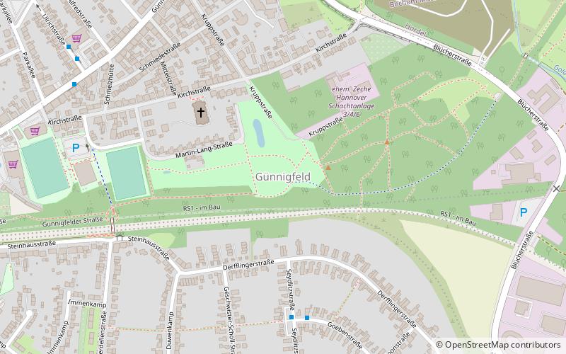
Günnigfeld location map
Map

Facts and practical information

Alternative names: Coordinates: 51°29'34"N, 7°9'7"E
Address

Wattenscheid (Günnigfeld)Bochum Germany

ContactAdd
Social media
Add
Day trips

Günnigfeld – popular in the area (distance from the attraction)

Nearby attractions include: German Mining Museum, Anneliese Brost Musikforum Ruhr, Technische Hochschule Georg Agricola, Jahrhunderthalle.

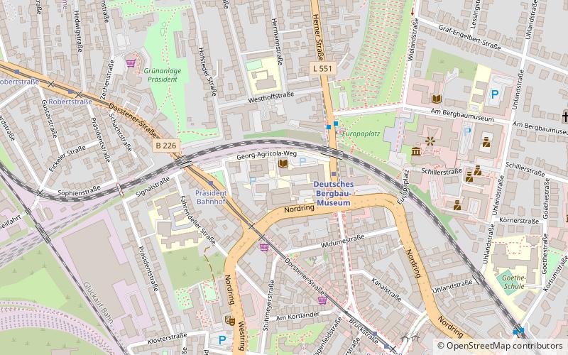
  • german mining museum bochum2.8 miE
  • anneliese brost musikforum ruhr bochum2.9 miE
  • technische hochschule georg agricola bochum location map
    2.6 miE
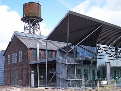
  • jahrhunderthalle bochum2.1 miE
  • mondpalast herne2.7 miN
  • im winkel bochum2.6 miE
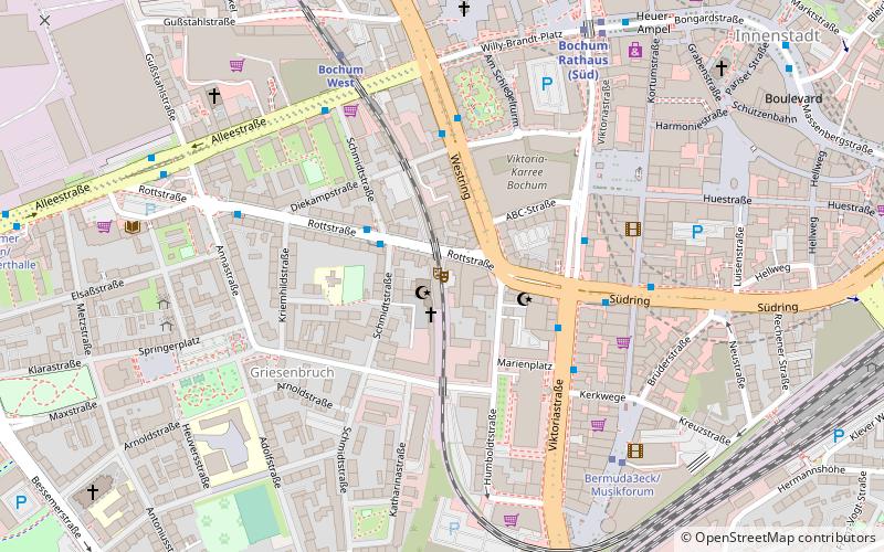
  • rottstrasse 5 theater bochum location map
    2.8 miE
  • christuskirche wanne herne2.7 miN
  • thorpe heimatmuseum eppendorf bochum2.6 miSE
  • johanneskirche eickel herne1.9 miNE
  • propsteikirche sankt augustinus gelsenkirchen2.7 miNW

Frequently Asked Questions (FAQ)

How to get to Günnigfeld by public transport?

The nearest stations to Günnigfeld:

Bus
  • Seydlitzstraße • Lines: 363, Ast63 (5 min walk)
  • Steinhausstraße • Lines: 363, Ast63 (6 min walk)

Tram
  • Querstraße • Lines: 302 (24 min walk)
  • Vietingstraße • Lines: 302 (25 min walk)
Where to next? Visit north rhine westphalia North Rhine-Westphalia region page or discover the top tourist attractions in Germany.