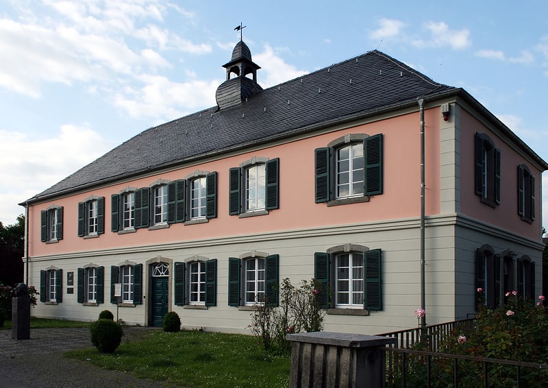
Hardtberg, Bonn
Map
Facts and practical information
Hardtberg is a borough of Bonn, Germany. It has a population of 34,576. ()
Address
Hardtberg (Duisdorf)Bonn
ContactAdd
Social media
Add
Getting there by public transportation
Public transportation stops near this location
- Bus
- Train
 Bus
Bus
- Calculate routeKöslinstraße 1 min walk
- Calculate routeEdith-Stein-Anlage 3 min walk
- Calculate routeAgentur für Arbeit 5 min walk
- Calculate routeCarl-Schurz-Straße 6 min walk
- Calculate routeBonn-Duisdorf 15 min walk
- Calculate routeBonn Helmholtzstraße 15 min walk
Day trips


Frequently Asked Questions (FAQ)
How to get to Hardtberg by public transport?
The nearest stations to Hardtberg:
Bus
Train
Bus
- Köslinstraße • Lines: 605, 606, 607, 608, 609, 843, N2, N6 (1 min walk)
- Edith-Stein-Anlage • Lines: 608, 609, 843, N6, Sb69 (3 min walk)
Train
- Bonn-Duisdorf (15 min walk)
- Bonn Helmholtzstraße (15 min walk)