Hardthöhe, Bonn

Map
Facts and practical information
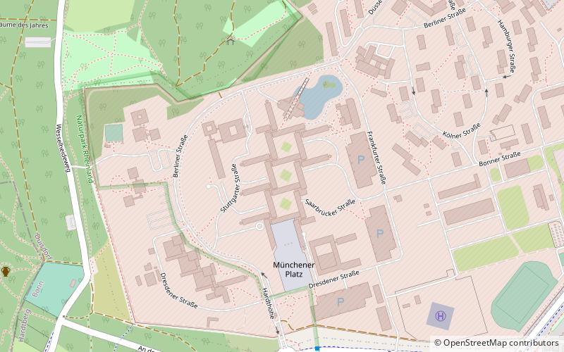
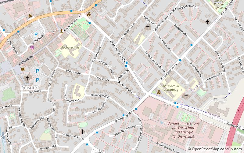
Hardthöhe is a district at the western edge of Bonn, Germany. The headquarters of the Federal Ministry of Defense is located in Hardthöhe since 1960. Hardthöhe was not part of Bonn before 1969. Instead, it belonged to the Amt Duisdorf. In 1969, Hardthöhe, together with Duisdorf and Lengsdorf, were assigned to the municipal district of Hardtberg, Bonn. ()
Address
Hardtberg (Brüser Berg)Bonn
ContactAdd
Social media
Add
Day trips
Hardthöhe – popular in the area (distance from the attraction)
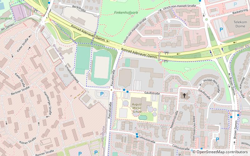
Nearby attractions include: Burg Medinghoven, Telekom Dome, Hardtberg, Hardtberghalle.
Frequently Asked Questions (FAQ)
How to get to Hardthöhe by public transport?
The nearest stations to Hardthöhe:
Bus
Train
Bus
- Hardthöhe Südwache • Lines: 608, 609, 812, Sb69 (7 min walk)
- Dachsweg • Lines: 812 (12 min walk)
Train
- Alfter-Witterschlick (23 min walk)
- Alfter-Impekoven (32 min walk)


