Bremer Teich, Quedlinburg
Map

Map

Facts and practical information
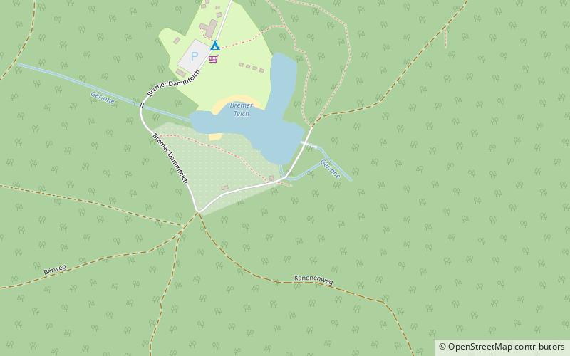
The Bremer Teich is an historic reservoir that lies south of the two villages of Bad Suderode and Gernrode in the Harz Mountains of Germany, and is used as a recreation area. It impounds the Bremer Graben, an artificial channel fed by water from the Bode and the Saale. The water reservoir was built in the 18th century in the Lower Harz. It has an area of ca. 4 ha. The pond is located on the Romanesque Road and the North Harz Cycleway. ()
Day trips
Bremer Teich – popular in the area (distance from the attraction)
Nearby attractions include: Roßtrappe, Saint Cyriakus, Stecklenburg, Lauenburg Castle.
Frequently Asked Questions (FAQ)
How to get to Bremer Teich by public transport?
The nearest stations to Bremer Teich:
Train
Bus
Train
- Sternhaus-Ramberg (20 min walk)
- Sternhaus-Haferfeld (33 min walk)
Bus
- Sternhaus • Lines: 242 (28 min walk)
- Mägdesprung • Lines: 242, 244 (35 min walk)


