Trek Zone

Grobleben

#2908 among destinations in Germany

Village
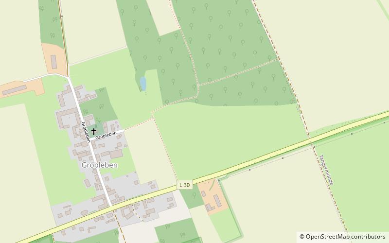
Grobleben location map
Map

Facts and practical information

Alternative names: Area: 1.48 mi²Coordinates: 52°31'36"N, 11°54'0"E
Location

Saxony-AnhaltGermany

Contact
Social media
Add
Day trips

Grobleben – popular in the area (distance from the attraction)

Nearby attractions include: Jerichow Monastery, St Stephen's Church, Old Town Hall, Steigberg.

  • jerichow monastery5.2 miE
  • st stephens church tangermunde3.3 miE
  • old town hall tangermunde3.1 miE
  • steigberg tangermunde3.3 miE
  • putinnen tangermunde3.1 miE
  • buch location map
    3.5 miSE
  • hamerten location map
    5.8 miNE
  • kaiser karl iv tangermunde3.5 miE
  • wildpark weissewarte4.1 miS
  • gefangnisturm tangermunde3.4 miE
  • turm ehem st nicolai kirche tangermunde3 miE

Where to next? Visit saxony anhalt Saxony-Anhalt region page or discover the top tourist attractions in Germany.