Spielbank Bad Neuenahr, Bad Neuenahr-Ahrweiler
Map
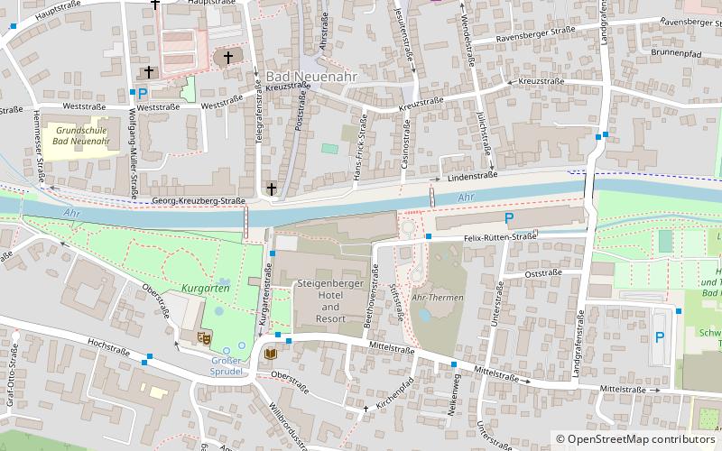
Map

Facts and practical information
The Kurhaus in Bad Neuenahr, a district of Bad Neuenahr-Ahrweiler in the Ahrweiler district, was built in 1903/05. The building on Felix-Rütten-Strasse is a protected architectural monument.
Coordinates: 50°32'33"N, 7°8'20"E
Address
Felix-Ruetten-Str. 1Bad Neuenahr-Ahrweiler 53474
Contact
+49 2641 75750
Social media
Add
Day trips
Spielbank Bad Neuenahr – popular in the area (distance from the attraction)
Nearby attractions include: Government bunker, Landskrone, Apollinariskirche, Red Wine Trail.
Frequently Asked Questions (FAQ)
Which popular attractions are close to Spielbank Bad Neuenahr?
Nearby attractions include Martin Luther Church, Bad Neuenahr-Ahrweiler (3 min walk), Bildstock Hemmessen, Bad Neuenahr-Ahrweiler (18 min walk).
How to get to Spielbank Bad Neuenahr by public transport?
The nearest stations to Spielbank Bad Neuenahr:
Bus
Train
Bus
- Spielbank • Lines: 849 (2 min walk)
- Kurpark • Lines: 849 (4 min walk)
Train
- Bad Neuenahr (11 min walk)


