St. Sebastian, Aachen
Map
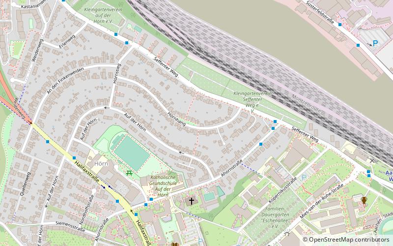
Map

Facts and practical information
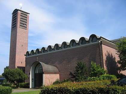
The Catholic parish of St. Sebastian Aachen-Hörn belongs to the community of the parishes of Aachen-Nord-West St. Philipp-Neri and is located in the Aachen district of Hörn.
Coordinates: 50°46'55"N, 6°3'39"E
Day trips
St. Sebastian – popular in the area (distance from the attraction)
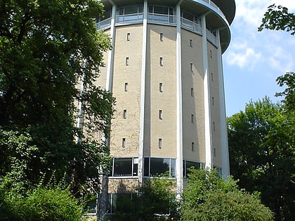
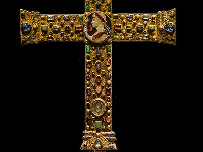
Nearby attractions include: Statue of Charlemagne, Ponttor, Aachen Cathedral Treasury, Belvedere Water Tower.
Frequently Asked Questions (FAQ)
Which popular attractions are close to St. Sebastian?
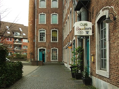
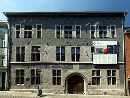
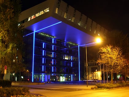
Nearby attractions include RWTH Aachen University, Aachen (3 min walk), Bilal Mosque, Aachen (13 min walk), Langer Turm, Aachen (17 min walk), Bleiberger Fabrik, Aachen (19 min walk).
How to get to St. Sebastian by public transport?
The nearest stations to St. Sebastian:
Bus
Train
Bus
- Seffenter Weg • Lines: 12, 22, 23, 3, 75, N 4 (4 min walk)
- Halifaxstraße • Lines: 12, 22, 23, 33, 73, 75, N 4 (6 min walk)
Train
- Aachen West (10 min walk)
- Aachen Schanz (26 min walk)
