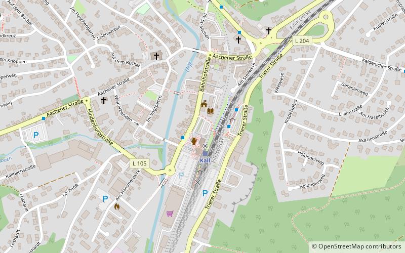
Kall
![Kall location map](https://tzmedia.b-cdn.net/media/images/static-maps/de/50_53909_6_55678.jpg)
Map
Facts and practical information
Day trips
Kall – popular in the area (distance from the attraction)
Nearby attractions include: Ordensburg Vogelsang, LVR-Freilichtmuseum Kommern, Mariawald Abbey, Kloster Steinfeld.
#4234 among destinations in Germany
Nearby attractions include: Ordensburg Vogelsang, LVR-Freilichtmuseum Kommern, Mariawald Abbey, Kloster Steinfeld.
146 min walk • Nestled in the rolling hills of the Eifel region in Schleiden, Germany, the imposing Ordensburg Vogelsang stands as a monumental relic of a bygone era. This expansive building complex, constructed during the National Socialist period of Germany's history, initially...
145 min walk • The Kommern Open Air Museum and Rhenish State Museum for Folk Art in Kommern/Eifel is one of the largest open air museums in Europe, covering an area of over 95 hectares and displaying around 67 historic buildings from the Prussian Rhine Province.
165 min walk • Mariawald Abbey was a monastery of the Trappists, located above the village of Heimbach, in the district of Düren in the Eifel, in the forests around Kermeter, North Rhine-Westphalia, Germany.
63 min walk • Nestled in the serene landscapes of the Eifel region in Germany, Kloster Steinfeld is a historic church that has stood as a beacon of spiritual and architectural significance for centuries. Originally founded in the 12th century, this former monastery has a storied...
153 min walk • The Wildenburg lies in the North Rhine-Westphalian part of the Eifel Mountains in the national park district of Hellenthal in the German county of Euskirchen.
77 min walk • The Eifel Aqueduct was one of the longest aqueducts of the Roman Empire. The aqueduct, constructed in AD 80, carried water some 95 kilometres from the hilly Eifel region of what is now Germany to the ancient city of Colonia Claudia Ara Agrippinensium.
150 min walk • The ruins of Reifferscheid Castle stand at a height of 450 metres above sea level near the German-Belgian border between the mountains of the Eifel and the Ardennes in the municipality of Hellenthal.
105 min walk • The Catholic parish church of St. Cyriacus in Weyer, a district of the municipality of Mechernich in the district of Euskirchen in the south of North Rhine-Westphalia, was first mentioned around 1187 as a church incorporated into the monastery ...
164 min walk • The Verbrannter Berg near Wolfgarten in the county of Euskirchen in the German state of North Rhine-Westphalia is a hill, 516.2 m above sea level, in the Kermeter, a ridge in the Eifel mountains, in the region of Rur Eifel; at the same time Verbrannter Berg is the name of a parcel of land.
Where to next? Visit North Rhine-Westphalia region page or discover the top tourist attractions in Germany.