Eifel Aqueduct
#1432 among destinations in Germany


Facts and practical information
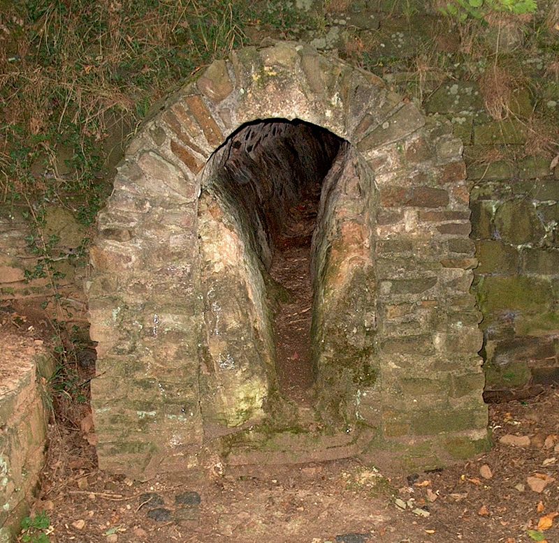
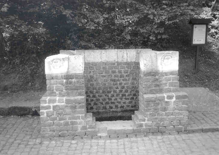
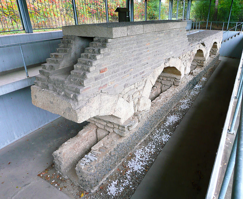
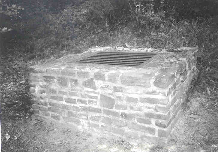
The Eifel Aqueduct was one of the longest aqueducts of the Roman Empire. ()
North Rhine-WestphaliaGermany
Eifel Aqueduct plan & book
Unleash the traveler in you — discover the cheapest flight deals, find the perfect hotel or hostel nearby, and search for the best car rental prices. Travel at your own pace to discover new places and enjoy your journey.
Eifel Aqueduct – popular in the area (distance from the attraction)
Nearby attractions include: Blankenheim Castle, Kloster Steinfeld, Wildenburg Castle, Stockert Hill.
 Forts and castles
Blankenheim Castle, Blankenheim
140 min walk • Blankenheim Castle is a schloss above the village of Blankenheim in the Eifel mountains of Germany. It was built as a hill castle around 1115 by Gerhard I and became the family seat of the House of Blankenheim.
 Church
Kloster Steinfeld
55 min walk • Nestled in the serene landscapes of the Eifel region in Germany, Kloster Steinfeld is a historic church that has stood as a beacon of spiritual and architectural significance for centuries. Originally founded in the 12th century, this former monastery has a storied...
 Forts and castles
Wildenburg Castle
159 min walk • The Wildenburg lies in the North Rhine-Westphalian part of the Eifel Mountains in the national park district of Hellenthal in the German county of Euskirchen.
 Nature, Natural attraction, Specialty museum
Stockert Hill, Bad Münstereifel
160 min walk • The Stockert is a 435-metre-high hill which rises between Eschweiler and Holzheim in the district of Euskirchen in the borough of Bad Münstereifel, in the Eifel mountains of Germany, and west of the city of Bonn.

 Nature, Natural attraction, Mountain
Herkelstein
150 min walk • The Herkelstein is a hill, 434.5 m, in the northeastern part of the der Eifel, in the German state of North Rhine-Westphalia. It forms the highest point of the Eschweiler Ridge and lies in the North Eifel Nature Park.
 Church
St. Cyriakus
69 min walk • The Catholic parish church of St. Cyriacus in Weyer, a district of the municipality of Mechernich in the district of Euskirchen in the south of North Rhine-Westphalia, was first mentioned around 1187 as a church incorporated into the monastery ...

 Nature, Forest
Kermeter, Eifel National Park
185 min walk • The Kermeter is an upland region, up to 527.8 m above sea level, which is part of the Rureifel within the North Eifel in the districts of Aachen, Düren and Euskirchen in the southwestern part of the state of North Rhine-Westphalia in Germany.
 Locality
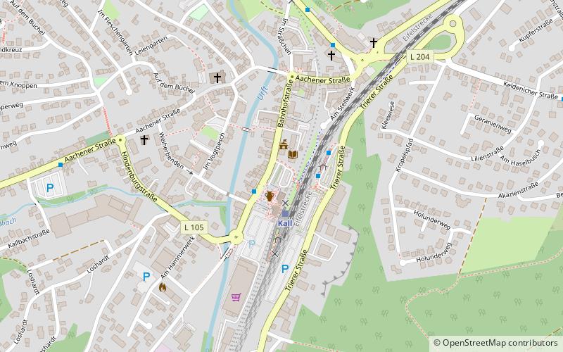
Kall
77 min walk • Kall is a municipality in the district of Euskirchen in the state of North Rhine-Westphalia, Germany. It is located in the Eifel hills, approximatively 20 km south-west of Euskirchen.


